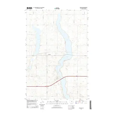
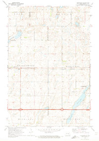
2014 Map of Eckelson
USGS Topo · Published 2014About this map
Eckelson serves as the primary settlement in this portion of Barnes County, situated just north of the major east-west transportation corridor. The landscape is defined by the elongated profile of Eckelson Lake, which stretches north-to-south through the center of the township, and the broader waters of Fox Lake to the west. This 2014 survey illustrates the characteristic section-line road grid of the North Dakota prairie, with routes like 35th St SE and 101st Ave SE providing access to the surrounding agricultural lands. The concentration of structures at Eckelson and along 2nd Ave highlights the enduring role of small-town centers in the regional economy, even as modern interstate travel bypasses the immediate townsite.
Find a feature on this map
19 named features on this map. Tap any name to fly to it.
Don’t see what you’re looking for? This feature index may not catch every label — zoom into the map to look around manually.
Map Details
Editions of this 2014 Eckelson Map
This is the sole edition of this map. No revisions or reprints were ever made.
Other maps of this area
1897 · Eckelson
USGS Topo · 1:125,000
1952 · New Rockford
USGS Topo · 1:250,000

1953 · Jamestown
USGS Topo · 1:250,000
1956 · New Rockford
USGS Topo · 1:250,000

1956 · Jamestown
USGS Topo · 1:250,000
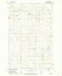
1961 · Leal
USGS Topo · 1:24,000
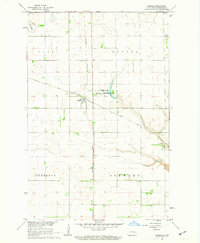
1961 · Rogers
USGS Topo · 1:24,000
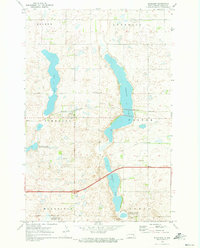
1970 · Eckelson
USGS Topo · 1:24,000
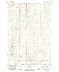
1970 · Clementsville
USGS Topo · 1:24,000
1970 · Spiritwood
USGS Topo · 1:24,000