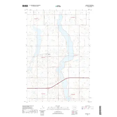
2017 Map of Eckelson
USGS Topo · Published 2017About this map
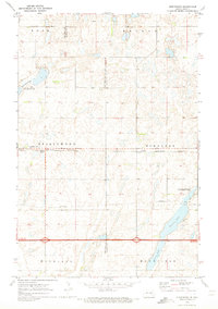
The settlement of Eckelson serves as the central point for this agricultural region of Barnes County, situated along a primary east-west transportation corridor. The landscape is defined by the prairie pothole geography characteristic of the Dakotas, featuring significant water bodies such as Eckelson Lake and Fox Lake. These lakes, alongside numerous unnamed seasonal wetlands, illustrate the drainage patterns that dictate local land use and road placement. The rectilinear grid of section lines, including Airport Rd and 32nd St SE, reflects the enduring influence of the Public Land Survey System on the region's development. Local infrastructure is further represented by Co Hwy 3 and a network of secondary roads that connect the dispersed farmsteads across the townships of t140n r61w and t140n r60w.
Find a feature on this map
18 named features on this map. Tap any name to fly to it.
Don’t see what you’re looking for? This feature index may not catch every label — zoom into the map to look around manually.
Map Details
Editions of this 2017 Eckelson Map
This is the sole edition of this map. No revisions or reprints were ever made.
Other maps of this area
1897 · Eckelson
USGS Topo · 1:125,000
1952 · New Rockford
USGS Topo · 1:250,000

1953 · Jamestown
USGS Topo · 1:250,000
1956 · New Rockford
USGS Topo · 1:250,000

1956 · Jamestown
USGS Topo · 1:250,000
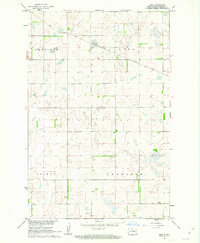
1961 · Leal
USGS Topo · 1:24,000
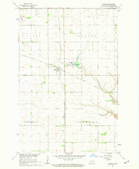
1961 · Rogers
USGS Topo · 1:24,000
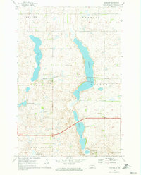
1970 · Eckelson
USGS Topo · 1:24,000
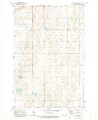
1970 · Clementsville
USGS Topo · 1:24,000
1970 · Spiritwood
USGS Topo · 1:24,000