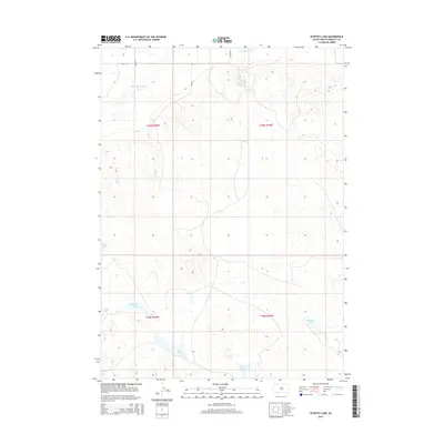
2015 Map of Ecoffey Lake
USGS Topo · Published 2015About this map
The Little White River cuts through the northern boundary of this Bennett County landscape, where the terrain is defined by a dense network of small depressions and seasonal water bodies. This 2015 survey reveals a significant cluster of named lakes in the southwest, including Ecoffey Lake, Posey Lake, and West Lake, which likely serve as vital water sources in this semi-arid region. Further east, Robinson Lake and the headwaters of Bear Cr. provide additional hydrological landmarks.
Find a feature on this map
17 named features on this map. Tap any name to fly to it.
Don’t see what you’re looking for? This feature index may not catch every label — zoom into the map to look around manually.
Map Details
Editions of this 2015 Ecoffey Lake Map
This is the sole edition of this map. No revisions or reprints were ever made.
Other maps of this area
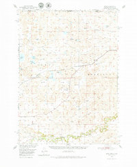
1950 · Irwin
USGS Topo · 1:62,500
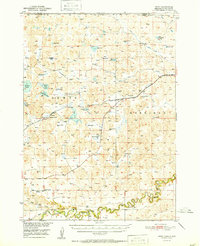
1951 · Irwin
USGS Topo · 1:62,500

1955 · Hot Springs
USGS Topo · 1:250,000

1955 · Alliance
USGS Topo · 1:250,000

1955 · Martin
USGS Topo · 1:250,000

1957 · Alliance
USGS Topo · 1:250,000

1957 · Valentine
USGS Topo · 1:250,000

1958 · Martin
USGS Topo · 1:250,000

1958 · Alliance
USGS Topo · 1:250,000

1959 · Valentine
USGS Topo · 1:250,000