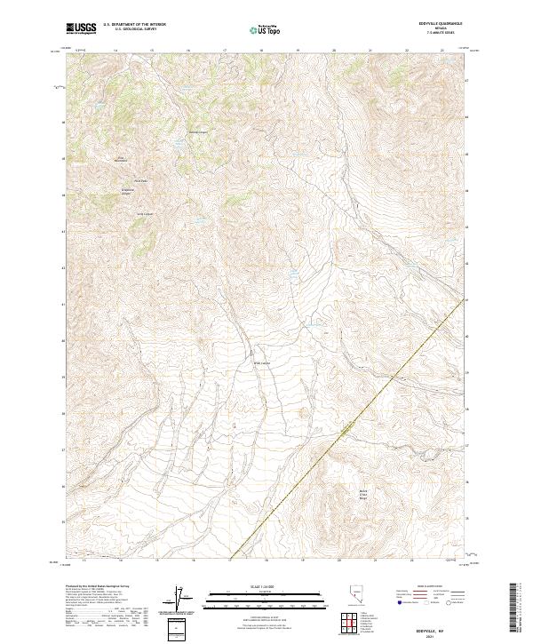
2021 Map of Eddyville
USGS Topo · Published 2021About this map
The Pilot Mountains dominate this high-desert landscape in central Nevada, where the prominent Pilot Peak serves as a visible landmark above the deep incisions of Telephone Canyon and Long Canyon. This arid terrain is defined by its critical water sources, scattered throughout the uplands as named springs including Mustang Spring, Cornelius Spring, and Warlock Spring. The topography transitions from these peaks across Wide Canyon toward the southern reaches of the Monte Cristo Range, where the boundary between Mineral Co and Esmeralda Co crosses the high basins. Remote mountain hydrology is further evidenced by sites like Dunlap Tunnel Spring, suggesting historical efforts to access subterranean water for ranching or mining operations in these isolated ranges.
Find a feature on this map
22 named features on this map. Tap any name to fly to it.
Don’t see what you’re looking for? This feature index may not catch every label — zoom into the map to look around manually.
Map Details
Editions of this 2021 Eddyville Map
This is the sole edition of this map. No revisions or reprints were ever made.
Other maps of this area

1907 · Tonopah
USGS Topo · 1:250,000

1908 · Tonopah
USGS Topo · 1:250,000

1909 · Hawthorne
USGS Topo · 1:250,000

1911 · Hawthorne
USGS Topo · 1:250,000

1915 · Hawthorne
USGS Topo · 1:250,000

1948 · Walker Lake
USGS Topo · 1:250,000

1956 · Tonopah
USGS Topo · 1:250,000

1957 · Walker Lake
USGS Topo · 1:250,000

1959 · Tonopah
USGS Topo · 1:250,000

1962 · Walker Lake
USGS Topo · 1:250,000