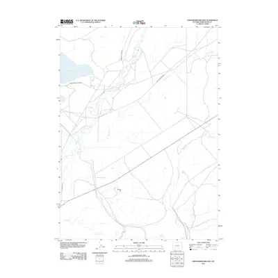
2012 Map of Eden Reservoir East
USGS Topo · Published 2012About this map
Eden Reservoir and its surrounding drainage systems define this high-desert portion of Sweetwater County, where historical transit routes intersect with natural waterways. The map illustrates a complex network of ephemeral and perennial streams, most notably Little Sandy Cr, Dry Sandy Cr, and Pacific Cr, which carve through the plateau. A standout topographic landmark is Round Top, providing a rare point of elevation in a landscape otherwise dominated by expansive flats and seasonal watercourses.
Find a feature on this map
10 named features on this map. Tap any name to fly to it.
Don’t see what you’re looking for? This feature index may not catch every label — zoom into the map to look around manually.
Map Details
Editions of this 2012 Eden Reservoir East Map
This is the sole edition of this map. No revisions or reprints were ever made.
Other maps of this area

1955 · Lander
USGS Topo · 1:250,000

1958 · Lander
USGS Topo · 1:250,000
1958 · Parting of the Ways
USGS Topo · 1:62,500
1958 · Essex Mountain
USGS Topo · 1:62,500
1958 · Tule Butte
USGS Topo · 1:24,000
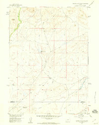
1958 · Parting of the Ways
USGS Topo · 1:24,000

1961 · Lander
USGS Topo · 1:250,000
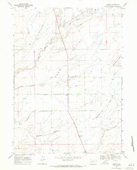
1968 · Farson
USGS Topo · 1:24,000
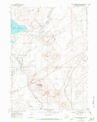
1968 · Eden Reservoir East
USGS Topo · 1:24,000
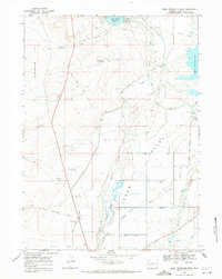
1968 · Eden Reservoir West
USGS Topo · 1:24,000