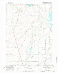
1968 Map of Eden Reservoir West
USGS Topo · Published 1971About this map
Emigrant Trail tracks and the Sublette Cutoff slice through this high desert landscape, marking the historic westward migration corridors that defined this region of Sweetwater County long before modern water management transformed it. The arid Sublette Flat and the Eden Valley are bisected by an intricate network of irrigation projects, including the Means Canal, West Side Lateral, and the Eden Canal, all designed to divert water from the Big Sandy River and Little Sandy Creek.
Find a feature on this map
24 named features on this map. Tap any name to fly to it.
Don’t see what you’re looking for? This feature index may not catch every label — zoom into the map to look around manually.
Map Details
Editions of this 1968 Eden Reservoir West Map
3 editions found
Other maps of this area

1955 · Lander
USGS Topo · 1:250,000

1958 · Lander
USGS Topo · 1:250,000

1961 · Lander
USGS Topo · 1:250,000

1968 · Farson
USGS Topo · 1:24,000

1968 · Eden Reservoir East
USGS Topo · 1:24,000
1968 · Simpson Gulch SE
USGS Topo · 1:24,000
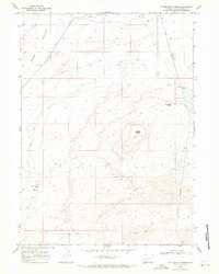
1968 · Fifteenmile Spring
USGS Topo · 1:24,000
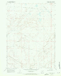
1968 · Fourmile Knoll
USGS Topo · 1:24,000
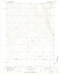
1969 · Juel Spring
USGS Topo · 1:24,000
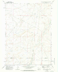
1969 · Big Sandy Reservoir SE
USGS Topo · 1:24,000