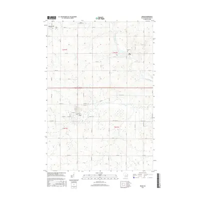
2015 Map of Edgar
USGS Topo · Published 2015About this map
Edgar serves as the primary hub of this Marathon County landscape, where the grid of residential streets like W Maple St meets the agricultural hinterland. The terrain is defined by a dense network of watercourses, including the wide path of the Big Rib River and its tributaries such as Scotch Cr and Soda Cr. For those researching local heritage, the map identifies several significant burial sites, including the Tessmer Pioneer Cem in the north and the Baesemann Cem near the settlement of Rib Falls. In the northwest corner, the community of Poniatowski remains centered around the Holy Trinity Cem. The transition from rural homesteads to the village core of Edgar illustrates the long-standing dairy and farming tradition of central Wisconsin, connected by a systematic grid of county roads and avenues.
Find a feature on this map
68 named features on this map. Tap any name to fly to it.
Don’t see what you’re looking for? This feature index may not catch every label — zoom into the map to look around manually.
Map Details
Editions of this 2015 Edgar Map
This is the sole edition of this map. No revisions or reprints were ever made.
Other maps of this area

1902 · Marathon
USGS Topo · 1:125,000

1951 · Athens
USGS Topo · 1:48,000

1951 · Hamburg
USGS Topo · 1:48,000

1953 · Marathon
USGS Topo · 1:48,000

1953 · Stratford
USGS Topo · 1:48,000

1953 · Eau Claire
USGS Topo · 1:250,000

1953 · Rice Lake
USGS Topo · 1:250,000

1954 · Iron Mountain
USGS Topo · 1:250,000

1955 · Green Bay
USGS Topo · 1:250,000

1958 · Eau Claire
USGS Topo · 1:250,000