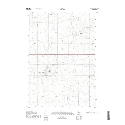
2018 Map of Edgar
USGS Topo · Published 2018About this map
Edgar serves as the primary hub in this central Wisconsin landscape, where the grid of agricultural roads meets the winding course of the Big Rib River. To the north, the settlement of Poniatowski and the historic Rib Falls area reveal the enduring footprint of early European immigrant communities. These roots are preserved at sites like Holy Trinity Cem and the Telsmer Pioneer Cem, which provide tangible connections for genealogists researching the area's earliest families. The terrain is defined by its water systems, notably Pet Brook and the drainage of Scotch Cr and Soda Cr, which historically influenced the placement of farms and timber operations. The intricate road network, including corridors like Co RD U and Co RD H, illustrates the evolution of rural connectivity in Marathon County.
Find a feature on this map
62 named features on this map. Tap any name to fly to it.
Don’t see what you’re looking for? This feature index may not catch every label — zoom into the map to look around manually.
Map Details
Editions of this 2018 Edgar Map
This is the sole edition of this map. No revisions or reprints were ever made.
Other maps of this area

1902 · Marathon
USGS Topo · 1:125,000

1951 · Athens
USGS Topo · 1:48,000

1951 · Hamburg
USGS Topo · 1:48,000

1953 · Marathon
USGS Topo · 1:48,000

1953 · Stratford
USGS Topo · 1:48,000

1953 · Eau Claire
USGS Topo · 1:250,000

1953 · Rice Lake
USGS Topo · 1:250,000

1954 · Iron Mountain
USGS Topo · 1:250,000

1955 · Green Bay
USGS Topo · 1:250,000

1958 · Eau Claire
USGS Topo · 1:250,000