2022 Map of Edgar
USGS Topo · Published 2022About this map
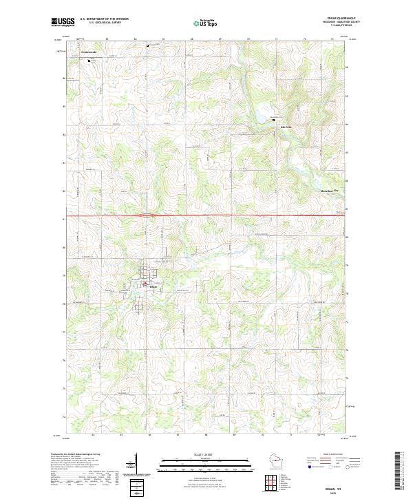
Edgar serves as the central hub of this Marathon County landscape, where the agricultural grid meets the winding courses of the Big Rib River and its tributaries. The settlement pattern reveals distinct community clusters such as Poniatowski to the northwest and Rib Falls to the northeast, each anchoring a network of rural roads like Co Rd U and Co Rd N. The terrain is defined by a dense system of waterways, including Scotch Cr and Soda Cr, which cut through the farm plots and woodlots that characterize this part of central Wisconsin.
Find a feature on this map
47 named features on this map. Tap any name to fly to it.
Don’t see what you’re looking for? This feature index may not catch every label — zoom into the map to look around manually.
Map Details
Editions of this 2022 Edgar Map
This is the sole edition of this map. No revisions or reprints were ever made.