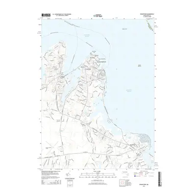
2015 Map of Edgartown
USGS Topo · Published 2015About this map
The eastern coast of Martha's Vineyard is defined by its deep salt ponds and historic maritime villages, as shown in this 2015 survey. The town of Edgartown anchors the southeastern shoreline, while the busy harbors of Oak Bluffs and Vineyard Haven dominate the northern coast, connected by the scenic Beach Rd. The map illustrates the island's transition from the dense residential grids of Vineyard Highlands and Eastville to the open interior landscapes surrounding the Martha's Vineyard Airport.
Find a feature on this map
41 named features on this map. Tap any name to fly to it.
Don’t see what you’re looking for? This feature index may not catch every label — zoom into the map to look around manually.
Map Details
Editions of this 2015 Edgartown Map
This is the sole edition of this map. No revisions or reprints were ever made.
Other maps of this area

1886 · Falmouth
USGS Topo · 1:62,500

1887 · Marthas Vineyard
USGS Topo · 1:62,500

1888 · Falmouth
USGS Topo · 1:62,500

1889 · Marthas Vineyard
USGS Topo · 1:62,500

1893 · Falmouth
USGS Topo · 1:62,500

1894 · Marthas Vineyard
USGS Topo · 1:62,500

1915 · Falmouth
USGS Topo · 1:62,500

1920 · Falmouth
USGS Topo · 1:62,500
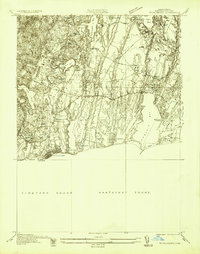
1936 · Falmouth
USGS Topo · 1:25,000
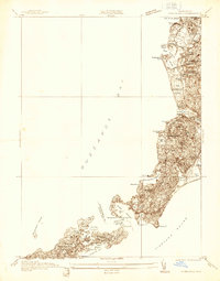
1936 · Woods Hole
USGS Topo · 1:24,000