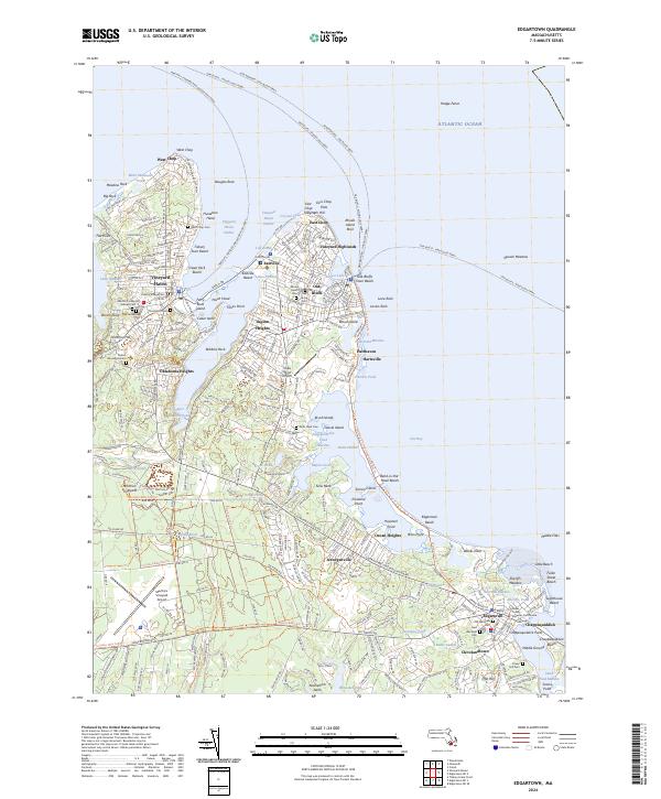
2024 Map of Edgartown
USGS Topo · Published 2024About this map
The maritime gateway of Vineyard Haven and the classic coastal village of Oak Bluffs anchor this detailed study of the island's eastern shoreline. From the northern point at West Chop down to the historic harbor at Edgartown, the map documents a landscape defined by saltwater ponds and narrow necks. Inland, the presence of the Sailors Burying Ground and numerous family cemeteries like Farm Neck Cem and Old Westside Cem provide deep genealogical connections to the area's seafaring past.
Find a feature on this map
180 named features on this map. Tap any name to fly to it.
Don’t see what you’re looking for? This feature index may not catch every label — zoom into the map to look around manually.
Map Details
Editions of this 2024 Edgartown Map
This is the sole edition of this map. No revisions or reprints were ever made.
Other maps of this area

1886 · Falmouth
USGS Topo · 1:62,500

1887 · Marthas Vineyard
USGS Topo · 1:62,500

1888 · Falmouth
USGS Topo · 1:62,500

1889 · Marthas Vineyard
USGS Topo · 1:62,500

1893 · Falmouth
USGS Topo · 1:62,500

1894 · Marthas Vineyard
USGS Topo · 1:62,500

1915 · Falmouth
USGS Topo · 1:62,500

1920 · Falmouth
USGS Topo · 1:62,500
1936 · Falmouth
USGS Topo · 1:25,000
1936 · Woods Hole
USGS Topo · 1:24,000