Loading...
Loading map...2022 Map of Edgerton
USGS Topo · Published 2022About this map
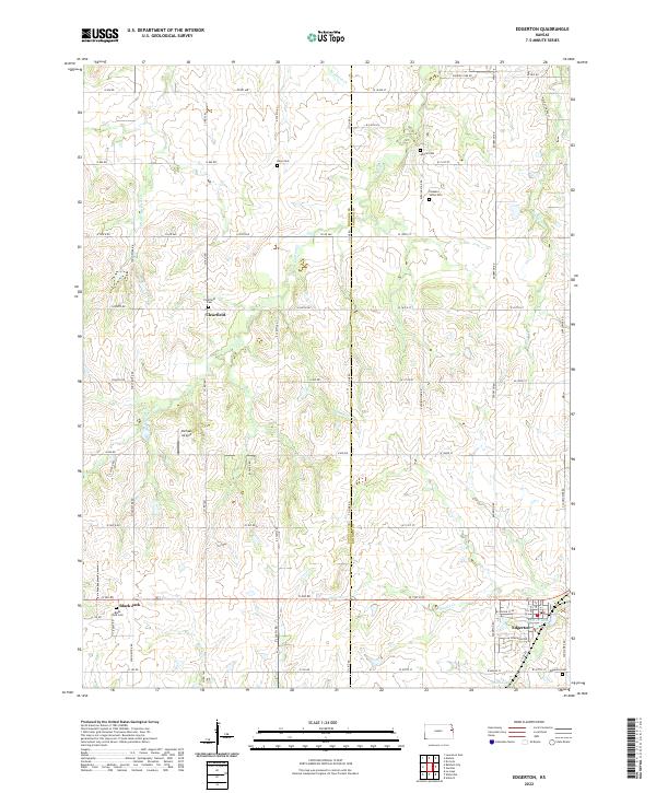
The boundary between Douglas and Johnson counties defines this rural landscape, which is marked by a network of sectional roads and small agricultural communities. In the southern portion of the map, Edgerton stands out as the primary population center, situated near Santa Fe Lake and South Lake. The area's pioneer history is preserved in several rural burial grounds, including the Deay, Adams, and Pleasant Valley cemeteries, often located at crossroads far from town centers.
Find a feature on this map
52 named features on this map. Tap any name to fly to it.
Don’t see what you’re looking for? This feature index may not catch every label — zoom into the map to look around manually.
Map Details
Date Portrayed2022
Date Published2022
PublisherU.S. Geological Survey
Map TypeTopographic
Scale1:24000
Physical Dimensions24 x 29 inches
Editions of this 2022 Edgerton Map
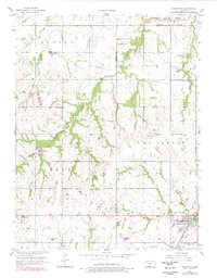
This is the sole edition of this map. No revisions or reprints were ever made.
Historical Maps of Johnson County Through Time
Featured Locations
Source Details
SourceU.S. Geological Survey
CopyrightPublic Domain