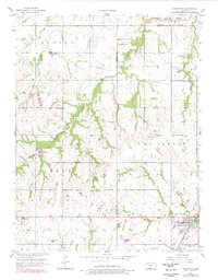
1956 Map of Edgerton
USGS Topo · Published 1978About this map
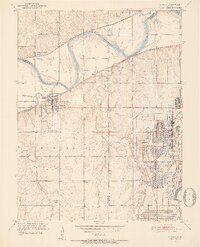
Edgerton and its surroundings straddle the border of Douglas and Johnson Counties, revealing a landscape defined by late-century land-use changes. To the north, the Sunflower Ordnance Works and the Lexington Reservation Boundary mark the presence of large-scale federal military industry. The southern portion of the sheet is grounded in local history, featuring several small settlements like Clearfield and Black Jack. These older communities are accompanied by numerous family and community landmarks, including the Old Black Jack Cem and the Captain Creek Ch. The geography is bisected by the winding courses of Captain Creek and the Wakarusa Creek, with the rail-adjacent development of Santa Fe Lake reflecting the area's transportation and utility infrastructure. Revisions from the late 1970s illustrate the suburban encroachment and infrastructure updates near the Landing Field while preserving the rural layout of the earlier mid-century survey.
Find a feature on this map
25 named features on this map. Tap any name to fly to it.
Don’t see what you’re looking for? This feature index may not catch every label — zoom into the map to look around manually.
Map Details
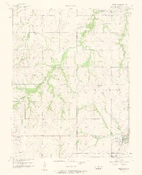
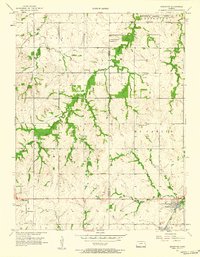
Editions of this 1956 Edgerton Map
3 editions found
Other maps of this area

1885 · Lawrence
USGS Topo · 1:125,000

1887 · Olathe
USGS Topo · 1:125,000

1889 · Lawrence
USGS Topo · 1:125,000

1893 · Olathe
USGS Topo · 1:125,000

1947 · Lawrence
USGS Topo · 1:250,000

1950 · Lawrence
USGS Topo · 1:250,000
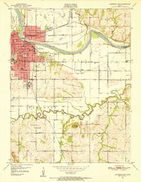
1950 · Lawrence East
USGS Topo · 1:24,000

1951 · De Soto
USGS Topo · 1:24,000
1951 · Eudora
USGS Topo · 1:24,000

1956 · Wellsville
USGS Topo · 1:24,000