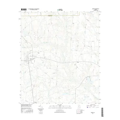
2017 Map of Edison
USGS Topo · Published 2017About this map
The agricultural landscape of Calhoun and Randolph counties is defined by the branching tributaries of Pachitla Creek and Neals Cr. In the western portion of the sheet, the town of Edison serves as a local hub, with streets like Hartford St E and College St SE radiating from its center near Edison Gin Rd. The map illustrates a region where life has long centered around small communities and family landholdings, evidenced by the scattered locations of Saint Stevens Cem, Salem Cem, and Regan Cem.
Find a feature on this map
86 named features on this map. Tap any name to fly to it.
Don’t see what you’re looking for? This feature index may not catch every label — zoom into the map to look around manually.
Map Details
Editions of this 2017 Edison Map
This is the sole edition of this map. No revisions or reprints were ever made.
Other maps of this area
1953 · Dothan
USGS Topo · 1:250,000
1954 · Dothan
USGS Topo · 1:250,000
1955 · Dothan
USGS Topo · 1:250,000
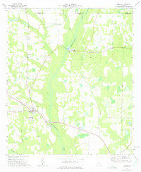
1973 · Morgan
USGS Topo · 1:24,000
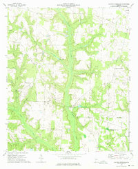
1973 · Martins Crossroads
USGS Topo · 1:24,000
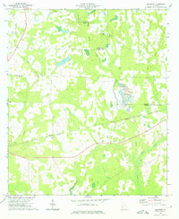
1973 · Bancroft
USGS Topo · 1:24,000
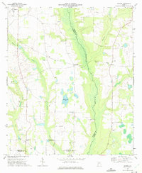
1973 · Doverel
USGS Topo · 1:24,000
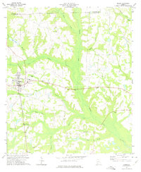
1973 · Edison
USGS Topo · 1:24,000
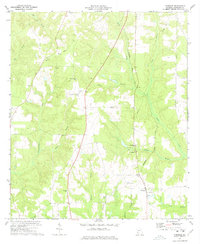
1973 · Carnegie
USGS Topo · 1:24,000
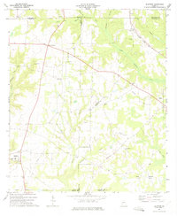
1973 · Bluffton
USGS Topo · 1:24,000