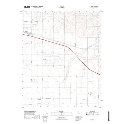
2018 Map of Edison
USGS Topo · Published 2018About this map
The San Joaquin Valley agricultural landscape near the community of Edison is defined by a rigorous grid of section lines and irrigation-dependent infrastructure. In the southeastern portion of the map, the settlement of Di Giorgio sits amid a network of roads named for local industrial and horticultural landmarks, such as Bear Mountain Winery Rd. The terrain transition is sharp where the flat basin floor meets the rising foothills, a boundary marked by the winding paths of Caliente Cr and Walker Basin Cr. This 2018 survey captures the region's complex water management and transportation systems, including the heavy corridor of the Edison Hwy. Notable landmarks like the Rock Pile near the eastern edge serve as distinctive points of reference in an otherwise uniform valley floor utilized for intensive farming.
Find a feature on this map
32 named features on this map. Tap any name to fly to it.
Don’t see what you’re looking for? This feature index may not catch every label — zoom into the map to look around manually.
Map Details
Editions of this 2018 Edison Map
This is the sole edition of this map. No revisions or reprints were ever made.
Other maps of this area
1906 · Bakersfield
USGS Topo · 1:62,500
1914 · Caliente
USGS Topo · 1:125,000
1929 · Bena
USGS Topo · 1:31,680
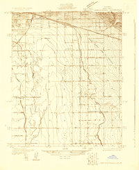
1929 · Fairfax School
USGS Topo · 1:31,680
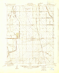
1930 · Weed Patch
USGS Topo · 1:31,680
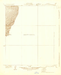
1930 · Bear Mountain
USGS Topo · 1:31,680
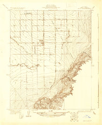
1930 · Arvin
USGS Topo · 1:31,680
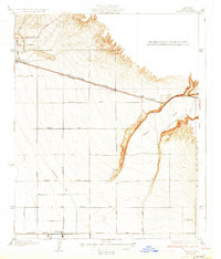
1931 · Edison
USGS Topo · 1:31,680
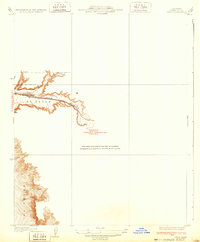
1932 · Bena
USGS Topo · 1:31,680
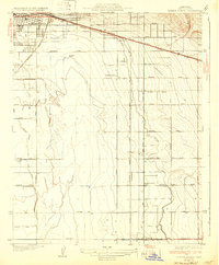
1932 · Fairfax School
USGS Topo · 1:31,680