
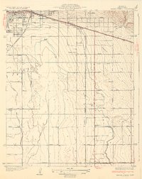
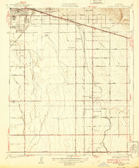
1932 Map of Fairfax School
USGS Topo · Published 1932About this map
Agricultural development and early irrigation networks define this portion of Kern County just south of Bakersfield. The landscape is dominated by the complex engineering of the Eastside Canal, Kern Island Canal, and White Wolf Canal, which transformed these arid plains into a productive citrus and farming region. The convergence of the Southern Pacific and A T & S F railroads at Magunden and Lamont highlights the area's importance as a shipping hub for the valley's output during the early 1930s.
Find a feature on this map
39 named features on this map. Tap any name to fly to it.
Don’t see what you’re looking for? This feature index may not catch every label — zoom into the map to look around manually.
Map Details
Editions of this 1932 Fairfax School Map
3 editions found
Other maps of this area

1906 · Bakersfield
USGS Topo · 1:62,500

1910 · Buena Vista Lake
USGS Topo · 1:125,000

1912 · Buena Vista Lake
USGS Topo · 1:125,000

1914 · Caliente
USGS Topo · 1:125,000

1929 · Fairfax School
USGS Topo · 1:31,680

1930 · Weed Patch
USGS Topo · 1:31,680

1930 · Arvin
USGS Topo · 1:31,680

1930 · Conner
USGS Topo · 1:31,680

1930 · Oildale
USGS Topo · 1:31,680

1931 · Edison
USGS Topo · 1:31,680