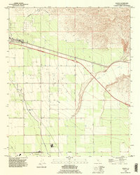
1992 Map of Edison
USGS Topo · Published 1995About this map
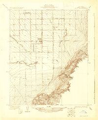
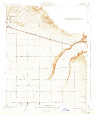
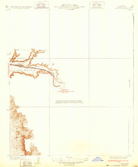
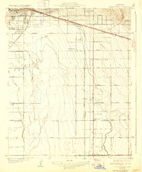
Oil Field operations dominate the landscape east of Bakersfield in the early 1990s, revealing the intensive industrial character of Kern County's petroleum and agricultural heartland. The settlement of Edison sits at the northern end of a dense grid of infrastructure, including a prominent Pipeline and Tower Line that cut across the valley floor. To the south, the community of Di Giorgio is anchored by a local Winery, signaling the transition from industrial extraction to the region's productive vineyards and orchards.
Find a feature on this map
23 named features on this map. Tap any name to fly to it.
Don’t see what you’re looking for? This feature index may not catch every label — zoom into the map to look around manually.
Map Details
Editions of this 1992 Edison Map
This is the sole edition of this map. No revisions or reprints were ever made.
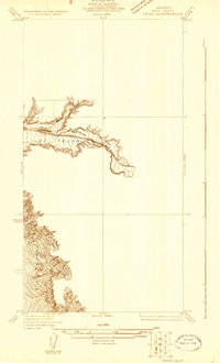
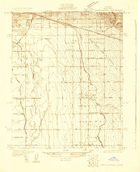
Other maps of this area

1906 · Bakersfield
USGS Topo · 1:62,500

1914 · Caliente
USGS Topo · 1:125,000
1929 · Bena
USGS Topo · 1:31,680
1929 · Fairfax School
USGS Topo · 1:31,680

1930 · Weed Patch
USGS Topo · 1:31,680
1930 · Bear Mountain
USGS Topo · 1:31,680
1930 · Arvin
USGS Topo · 1:31,680
1931 · Edison
USGS Topo · 1:31,680
1932 · Bena
USGS Topo · 1:31,680
1932 · Fairfax School
USGS Topo · 1:31,680