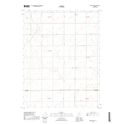
2019 Map of Edison School
USGS Topo · Published 2019About this map
Edison School stands as a focal point in this rural landscape of the High Plains, situated at the junction of Edison Rd and S Neely Rd. This 2019 survey captures the sparse settlement pattern along the boundary of El Paso and Pueblo counties. Further south, the map reveals the local community hub at the intersection of Edison Rd and Rasner Rd, where the Leader Church and the Leader Church Cem are located. The terrain is defined by a grid of section lines and gravel routes such as S Yoder Rd and Boone Rd, reflecting a landscape dedicated to large-scale ranching or dryland farming. The inclusion of numerous named roads like Myers Rd and Sopko Ln provides essential data for researchers tracing modern property access and rural development in this corner of Colorado.
Find a feature on this map
24 named features on this map. Tap any name to fly to it.
Don’t see what you’re looking for? This feature index may not catch every label — zoom into the map to look around manually.
Map Details
Editions of this 2019 Edison School Map
This is the sole edition of this map. No revisions or reprints were ever made.
Other maps of this area
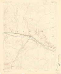
1891 · Nepesta
USGS Topo · 1:125,000
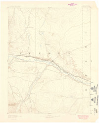
1893 · Nepesta
USGS Topo · 1:125,000
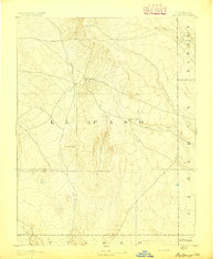
1893 · Big Springs
USGS Topo · 1:125,000
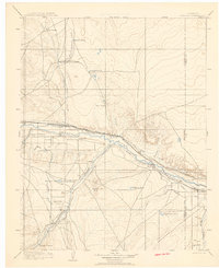
1904 · Nepesta
USGS Topo · 1:125,000
1954 · Pueblo
USGS Topo · 1:250,000
1957 · Pueblo
USGS Topo · 1:250,000
1958 · Pueblo
USGS Topo · 1:250,000
1959 · Highlands Church
USGS Topo · 1:24,000
1959 · Grandview School
USGS Topo · 1:24,000
1959 · North Avondale NE
USGS Topo · 1:24,000