2024 Map of Edisto Beach
USGS Topo · Published 2024About this map
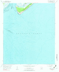
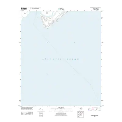
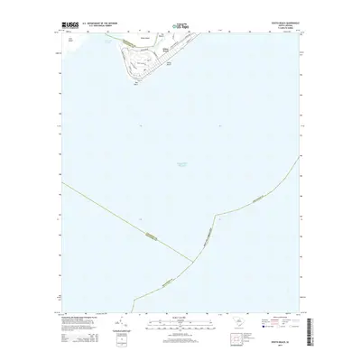
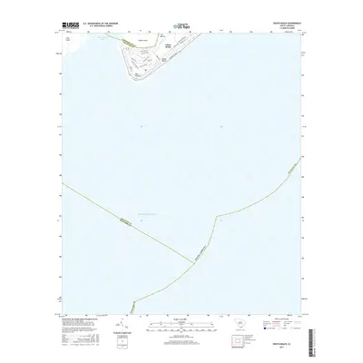
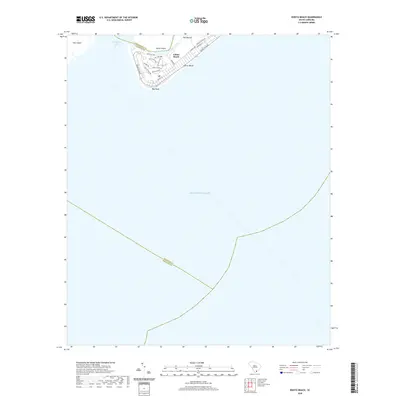
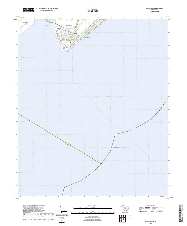
Edisto Beach serves as the focal point of this coastal survey, situated where the South Edisto Inlet meets the Atlantic Ocean. The map documents the residential and recreational street layout of this barrier island community, featuring notable thoroughfares like Palmetto Blvd and Jungle Rd. The landscape is defined by the narrow waterways of Big Bay Creek and Scott Creek, which separate the primary settlement from surrounding landmasses such as Edisto Island and Pine Island. Detailed labeling of local landmarks like Battery Park and the residential corridors of Oristo Ridge provides a modern record of the area's development. The map also clearly delineates the tri-county intersection of Colleton, Charleston, and Beaufort counties within the coastal marshes and open waters near Bay Point.
Find a feature on this map
27 named features on this map. Tap any name to fly to it.
Don’t see what you’re looking for? This feature index may not catch every label — zoom into the map to look around manually.
Map Details
Editions of this 2024 Edisto Beach Map
This is the sole edition of this map. No revisions or reprints were ever made.
Historical Maps of Edisto Beach Through Time
6 maps found