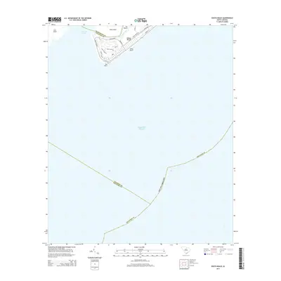
2014 Map of Edisto Beach
USGS Topo · Published 2014About this map
Edisto Beach and the southern tip of Edisto Island occupy the center of this coastal survey, where the terrestrial landscape meets the expansive Atlantic Ocean. The coastal geometry is defined by the South Edisto Inlet and the winding course of Scott Creek, which separates the main beach community from the northern interior. This digital-age record captures the established street grid of the town, featuring prominent thoroughfares such as Palmetto Blvd and Jungle Rd, alongside smaller residential ways like Rice Ln and Club Cottage Rd.
Find a feature on this map
26 named features on this map. Tap any name to fly to it.
Don’t see what you’re looking for? This feature index may not catch every label — zoom into the map to look around manually.
Map Details
Editions of this 2014 Edisto Beach Map
This is the sole edition of this map. No revisions or reprints were ever made.
Other maps of this area
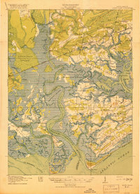
1919 · Edisto Island
USGS Topo · 1:62,500
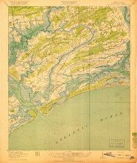
1919 · Wadmelaw Island
USGS Topo · 1:62,500
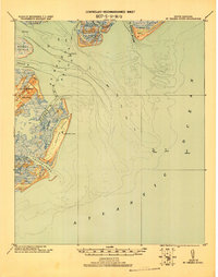
1920 · St. Helena Sound
USGS Topo · 1:62,500
1943 · Edisto Island
USGS Topo · 1:62,500
1944 · Wadmelaw Island
USGS Topo · 1:62,500
1947 · Savannah
USGS Topo · 1:250,000
1948 · St. Helena Sound
USGS Topo · 1:62,500
1948 · Savannah
USGS Topo · 1:250,000
1956 · Edisto Beach
USGS Topo · 1:24,000
1956 · St. Helena Sound
USGS Topo · 1:24,000