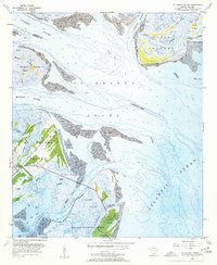
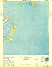
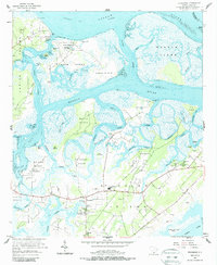
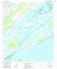
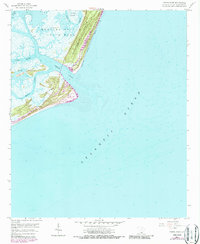
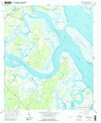
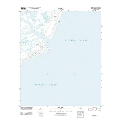
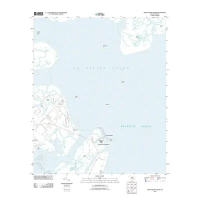
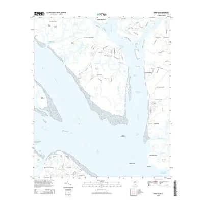
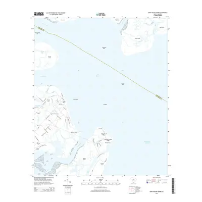
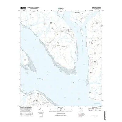
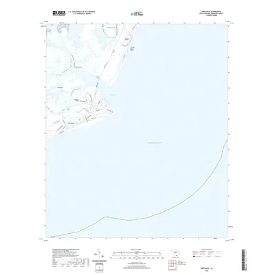
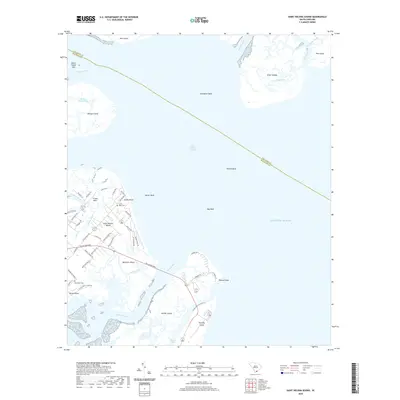
1956 Map of St. Helena Sound
USGS Topo · Published 1957About this map
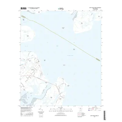
St Helena Island and its intricate maritime landscape dominate this mid-century survey of the South Carolina coast. The map details the transition from the Coosaw River and Ashepoo River into the expansive St Helena Sound, where shifting sands create features like Pelican Bank and Egg Bank. Along the eastern edge of St Helena Island, the presence of Coffin Point Cem and Big House Cem provides essential touchpoints for genealogists researching the plantation-era history of the Coffin Point area.
Find a feature on this map
40 named features on this map. Tap any name to fly to it.
Don’t see what you’re looking for? This feature index may not catch every label — zoom into the map to look around manually.
Map Details
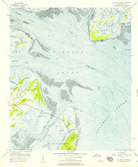
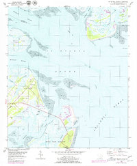
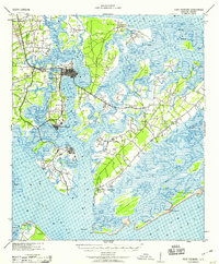
Editions of this 1956 St. Helena Sound Map
4 editions found
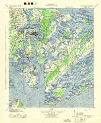
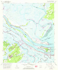
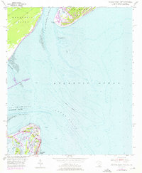
Historical Maps of Cedar Reef Villas Through Time
58 maps found

1920 Hilton Head
Beaufort County, SC

1920 Okatie
Beaufort County, SC

1920 St. Helena Sound
Beaufort County, SC

1942 Okatie
Beaufort County, SC
1944 Fort Fremont
Beaufort County, SC

1945 Hilton Head
Beaufort County, SC
1948 St. Helena Sound
Beaufort County, SC
1955 Fort Pulaski
Beaufort County, SC
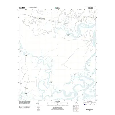
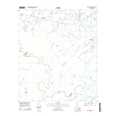
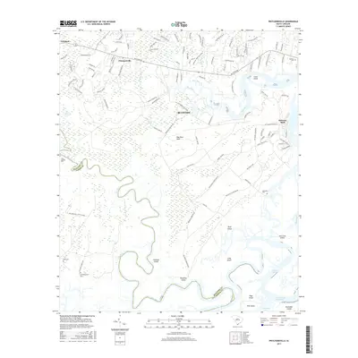
1955 Pritchardville
Beaufort County, SC
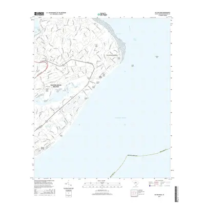
1955 Savannah Beach North
Beaufort County, SC
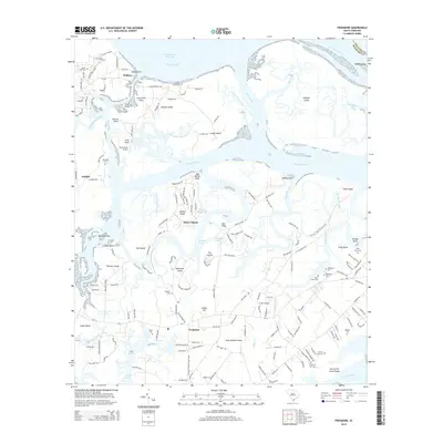
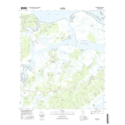
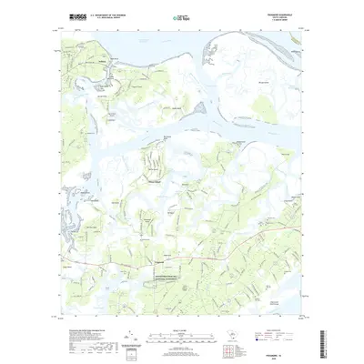
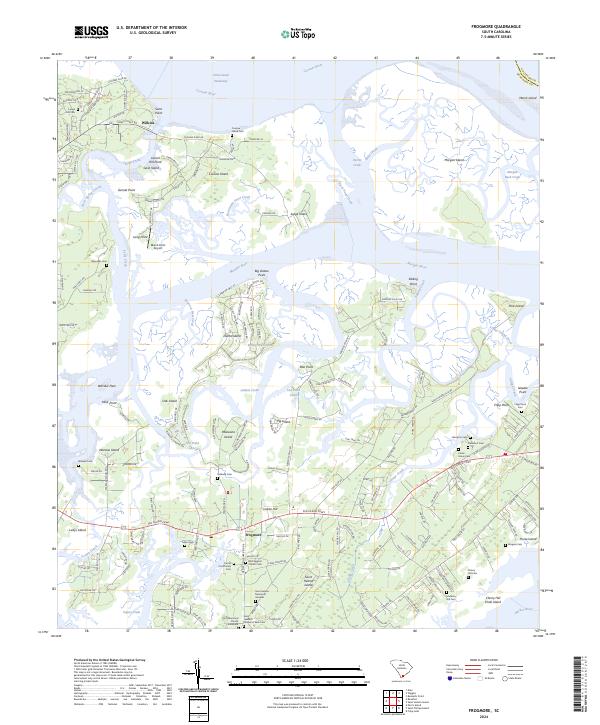
1956 Frogmore
Beaufort County, SC
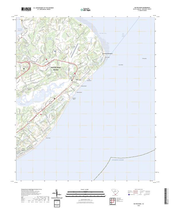
1956 Hilton Head
Beaufort County, SC
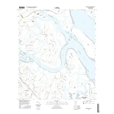
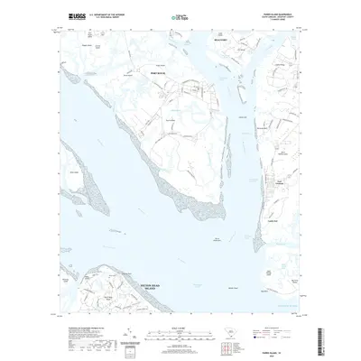
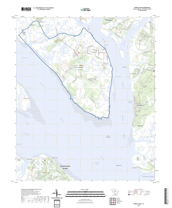
1956 Parris Island
Beaufort County, SC
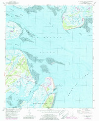
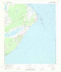
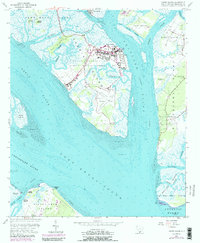
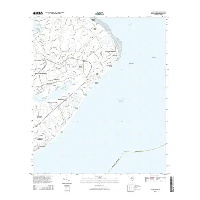
1956 St. Helena Sound
Beaufort County, SC
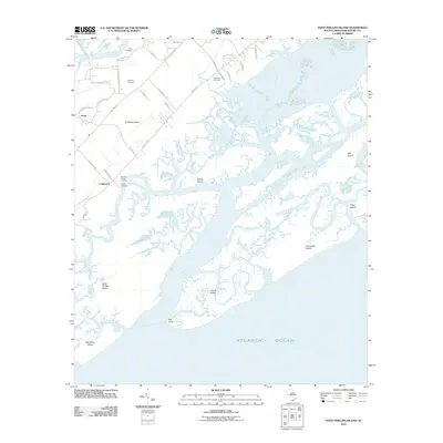
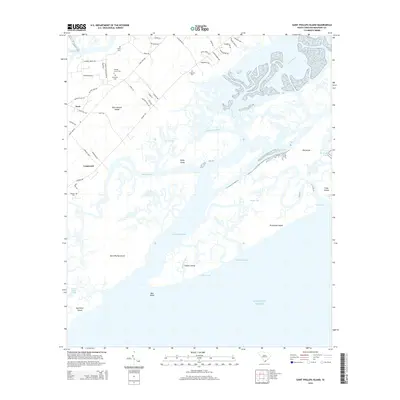
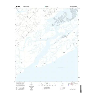
1956 St. Phillips Island
Beaufort County, SC
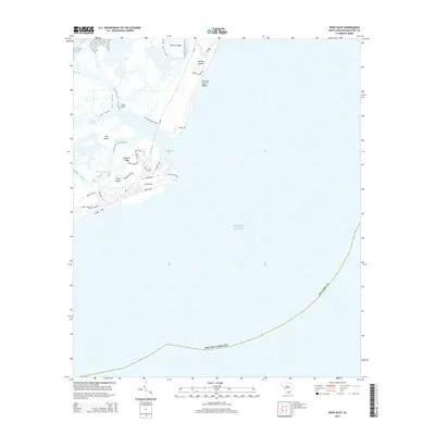
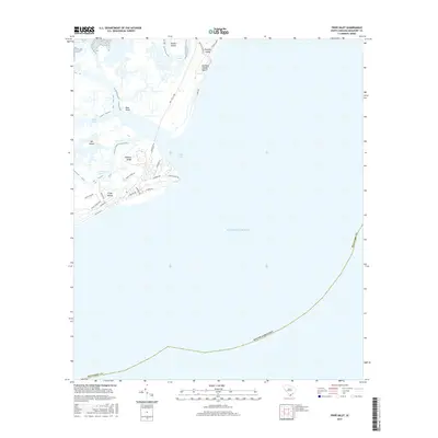
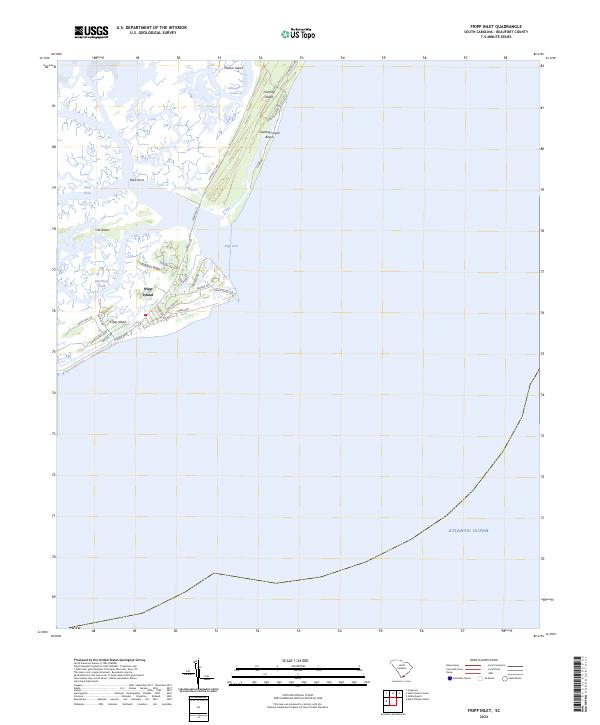
1958 Fripps Inlet
Beaufort County, SC
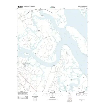
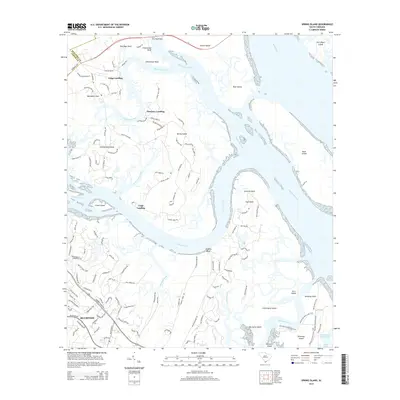
1958 Spring Island
Beaufort County, SC
1959 Fort Fremont
Beaufort County, SC
2011 Fripp Inlet
Beaufort County, SC
2011 Frogmore
Beaufort County, SC
2011 Hilton Head
Beaufort County, SC
2011 Parris Island
Beaufort County, SC
2011 Pritchardville
Beaufort County, SC
2011 Saint Helena Sound
Beaufort County, SC
2011 Saint Phillips Island
Beaufort County, SC
2011 Spring Island
Beaufort County, SC
2014 Fripp Inlet
Beaufort County, SC
2014 Frogmore
Beaufort County, SC
2014 Hilton Head
Beaufort County, SC
2014 Parris Island
Beaufort County, SC
2014 Pritchardville
Beaufort County, SC
2014 Saint Helena Sound
Beaufort County, SC
2014 Saint Phillips Island
Beaufort County, SC
2014 Spring Island
Beaufort County, SC
2017 Fripp Inlet
Beaufort County, SC
2017 Frogmore
Beaufort County, SC
2017 Hilton Head
Beaufort County, SC
2017 Parris Island
Beaufort County, SC
2017 Pritchardville
Beaufort County, SC
2017 Saint Helena Sound
Beaufort County, SC
2017 Saint Phillips Island
Beaufort County, SC
2017 Spring Island
Beaufort County, SC
2020 Fripp Inlet
Beaufort County, SC
2020 Frogmore
Beaufort County, SC
2020 Hilton Head
Beaufort County, SC
2020 Parris Island
Beaufort County, SC
2020 Pritchardville
Beaufort County, SC
2020 Saint Helena Sound
Beaufort County, SC
2020 Saint Phillips Island
Beaufort County, SC
2020 Spring Island
Beaufort County, SC
2024 Fripp Inlet
Beaufort County, SC
2024 Frogmore
Beaufort County, SC
2024 Hilton Head
Beaufort County, SC
2024 Parris Island
Beaufort County, SC
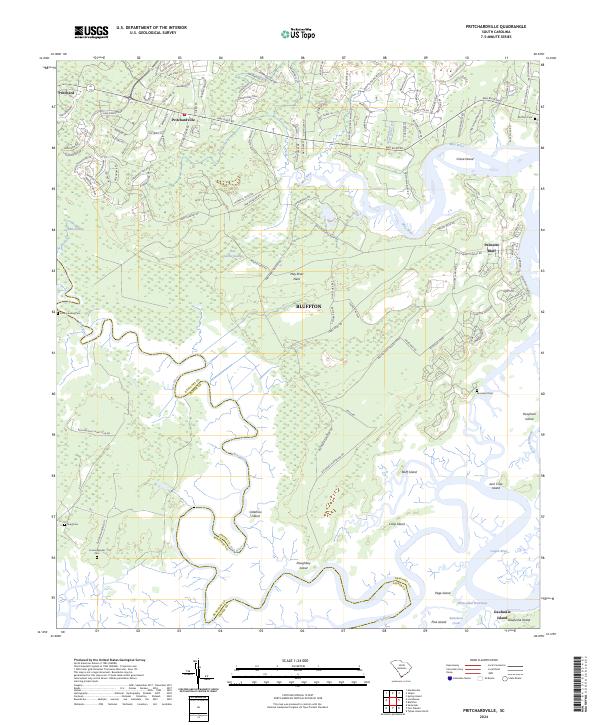
2024 Pritchardville
Beaufort County, SC
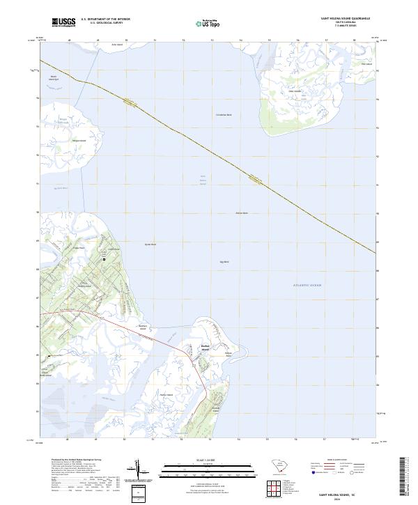
2024 Saint Helena Sound
Beaufort County, SC
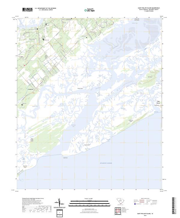
2024 Saint Phillips Island
Beaufort County, SC
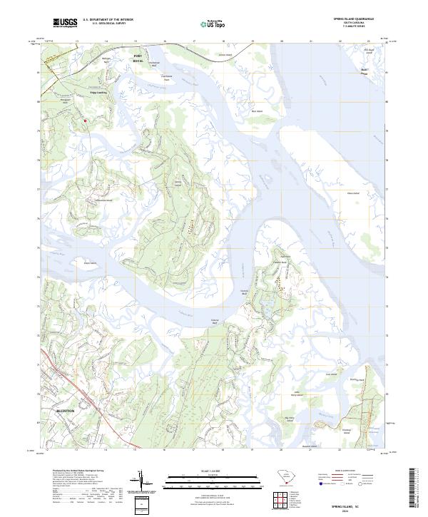
2024 Spring Island
Beaufort County, SC
Featured Locations
- Colleton County, SC
- Beaufort County, SC
- Cedar Reef Villas, SC
- Nautical Watch Villas, SC
- Oceanmarsh Subdivision, SC