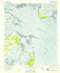
1956 Map of St. Helena Sound
USGS Topo · Published 1957About this map
St Helena Sound dominates this mid-century coastal survey, capturing the intricate tidal landscape where the Coosaw River and Ashepoo River meet the Atlantic Ocean. The map reveals the Lowcountry's complex waterway system, including Otter Creek and Morgan River, which separate numerous marsh-fringed islands. Significant cultural sites are marked on St Helena Island, notably the waterfront settlement at Coffin Point and the nearby Coffin Point Cem. The presence of the Hunting Island Lighthouse and Hunting Island State Park reflects the area's maritime importance and the early preservation of its barrier islands. This topographic study, based on 1950s aerial photography and planetable surveys, provides a detailed record of the shifting shoals like Pelican Bank and Egg Bank before decades of coastal erosion and modern development altered these shorelines.
Find a feature on this map
35 named features on this map. Tap any name to fly to it.
Don’t see what you’re looking for? This feature index may not catch every label — zoom into the map to look around manually.
Map Details
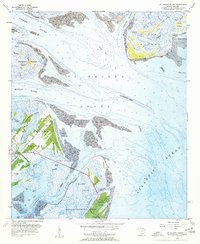
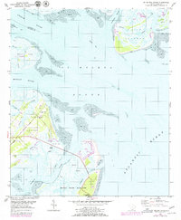
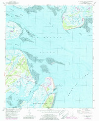
Editions of this 1956 St. Helena Sound Map
4 editions found
Other maps of this area

1918 · Green Pond
USGS Topo · 1:62,500

1919 · Edisto Island
USGS Topo · 1:62,500

1920 · St. Helena Sound
USGS Topo · 1:62,500

1943 · Edisto Island
USGS Topo · 1:62,500

1943 · Green Pond
USGS Topo · 1:62,500

1944 · Fort Fremont
USGS Topo · 1:62,500

1947 · Savannah
USGS Topo · 1:250,000

1948 · St. Helena Sound
USGS Topo · 1:62,500

1948 · Savannah
USGS Topo · 1:250,000

1956 · Frogmore
USGS Topo · 1:24,000
Featured Places
- Cedar Reef Villas, SC
- Oceanmarsh Subdivision, SC
- Nautical Watch Villas, SC
- Beaufort County, SC
- Colleton County, SC