
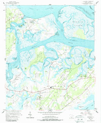
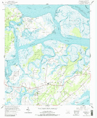
1956 Map of Frogmore
USGS Topo · Published 1957About this map
St Helena Island serves as the central landscape of this 1956 mid-century survey, revealing a coastal community defined by its intricate network of tidal creeks and numerous named islands. The settlement of Frogmore acts as a social hub, anchored by significant local institutions such as Brick Ch and the Penn Community Services campus. The map illustrates a landscape where the land and sea are deeply intertwined, with extensive marshes separating Datha Island, Morgan Island, and Coosaw Island from the larger landmasses. The presence of numerous small family and community cemeteries, including Hampton Cem and Cedar Grove Cem, provides vital evidence of the deep-rooted genealogical history of the area. Transportation is dominated by the Intracoastal Waterway and the Coosaw River, which facilitated movement before modern bridge networks fully transformed these Sea Islands.
Find a feature on this map
80 named features on this map. Tap any name to fly to it.
Don’t see what you’re looking for? This feature index may not catch every label — zoom into the map to look around manually.
Map Details
Editions of this 1956 Frogmore Map
3 editions found
Other maps of this area

1918 · Green Pond
USGS Topo · 1:62,500

1919 · Edisto Island
USGS Topo · 1:62,500

1920 · St. Helena Sound
USGS Topo · 1:62,500

1943 · Edisto Island
USGS Topo · 1:62,500

1943 · Green Pond
USGS Topo · 1:62,500

1944 · Fort Fremont
USGS Topo · 1:62,500

1947 · Savannah
USGS Topo · 1:250,000

1948 · St. Helena Sound
USGS Topo · 1:62,500

1948 · Savannah
USGS Topo · 1:250,000
1956 · Parris Island
USGS Topo · 1:24,000