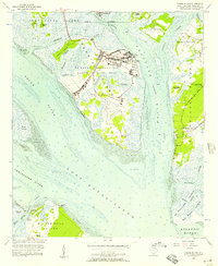
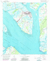
1956 Map of Parris Island
USGS Topo · Published 1957About this map
Parris Island and its storied Marine Recruit Depot dominate this coastal survey, revealing the high-density infrastructure of the US Naval Reservation alongside the expansive wetlands of the Lowcountry. The map details the military footprint of the mid-1950s, from the aviation facilities at Page Field and the central Parade Ground to specialized landmarks like the Dry Dock and Yacht Basin. This military presence is framed by a complex network of tidal passages, including Archers Creek and the Beaufort River.
Find a feature on this map
61 named features on this map. Tap any name to fly to it.
Don’t see what you’re looking for? This feature index may not catch every label — zoom into the map to look around manually.
Map Details
Editions of this 1956 Parris Island Map
5 editions found
Other maps of this area

1920 · Okatie
USGS Topo · 1:62,500

1920 · Hilton Head
USGS Topo · 1:62,500

1920 · Bluffton
USGS Topo · 1:62,500

1942 · Okatie
USGS Topo · 1:62,500

1944 · Fort Fremont
USGS Topo · 1:62,500

1945 · Bluffton
USGS Topo · 1:62,500

1945 · Hilton Head
USGS Topo · 1:62,500

1947 · Savannah
USGS Topo · 1:250,000

1948 · Savannah
USGS Topo · 1:250,000

1956 · Frogmore
USGS Topo · 1:24,000