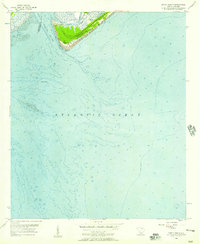
1956 Map of Edisto Beach
USGS Topo · Published 1957About this map
Edisto Island meets the Atlantic Ocean in this 1956 hydrographic and topographic study, capturing the coastal dynamics of the South Carolina Lowcountry. The map details the intricate network of Edisto Creeks and Scott Creek feeding into Big Bay, while the South Edisto River defines the western boundary of the quadrangle. The settlement of Edisto Beach is shown at the southern tip of the island, protected in part by jetties and situated adjacent to the grounds of Edisto Beach State Park.
Find a feature on this map
15 named features on this map. Tap any name to fly to it.
Don’t see what you’re looking for? This feature index may not catch every label — zoom into the map to look around manually.
Map Details
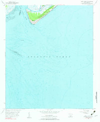
Editions of this 1956 Edisto Beach Map
2 editions found
Other maps of this area

1919 · Edisto Island
USGS Topo · 1:62,500

1919 · Wadmelaw Island
USGS Topo · 1:62,500

1920 · St. Helena Sound
USGS Topo · 1:62,500

1943 · Edisto Island
USGS Topo · 1:62,500

1944 · Wadmelaw Island
USGS Topo · 1:62,500

1947 · Savannah
USGS Topo · 1:250,000

1948 · St. Helena Sound
USGS Topo · 1:62,500

1948 · Savannah
USGS Topo · 1:250,000
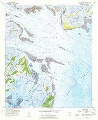
1956 · St. Helena Sound
USGS Topo · 1:24,000

1957 · Savannah
USGS Topo · 1:250,000