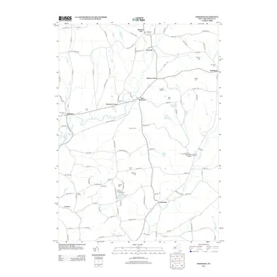
2013 Map of Edmeston
USGS Topo · Published 2013About this map
Wharton Creek and Butternut Creek carve paths through this rural section of Otsego County, where a network of crossroads and family settlements defines the 21st-century landscape. The area around Edmeston and Garrattsville preserves several local heritage sites, including the Methodist church and a high density of burial grounds such as Demming Cemetery and the Quaker Cemetery. The map reflects a blend of traditional agricultural life and recreational land use, seen in the proximity of Buckhill Farm to the Crystal Lake Park and Campground. Small communities like Burlington Flats, West Burlington, and Robinson Corners remain connected by historical routes like Taylor Hill Road and County Highway 20, while modern aviation is represented by the Suntime Airport. Numerous summits, including Wooley Hill and Rice Hill, anchor the geography between these small hamlets.
Find a feature on this map
108 named features on this map. Tap any name to fly to it.
Don’t see what you’re looking for? This feature index may not catch every label — zoom into the map to look around manually.
Map Details
Editions of this 2013 Edmeston Map
This is the sole edition of this map. No revisions or reprints were ever made.
Other maps of this area

1907 · Winfield
USGS Topo · 1:62,500

1907 · Sangerfield
USGS Topo · 1:62,500

1910 · Hartwick
USGS Topo · 1:62,500

1910 · New Berlin
USGS Topo · 1:62,500

1912 · New Berlin
USGS Topo · 1:62,500

1912 · Hartwick
USGS Topo · 1:62,500

1943 · Schuyler Lake
USGS Topo · 1:24,000

1943 · Mt Vision
USGS Topo · 1:24,000

1943 · New Berlin North
USGS Topo · 1:24,000

1943 · New Berlin South
USGS Topo · 1:24,000