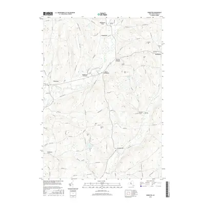
2016 Map of Edmeston
USGS Topo · Published 2016About this map
Edmeston and the surrounding hamlets of Garrattsville and West Burlington define the mid-20th-century rural character of Otsego County. The landscape is deeply carved by the Wharton Cr and Butternut Cr valleys, which dictated the placement of small agricultural settlements and the winding network of roads like Hickling Rd and Gott Rd. Genealogists will find a wealth of burial sites, from the Old United Presbyterian Church Cem in Burlington to smaller family and congregational plots like Jennings Cem and Quaker Cem. The terrain is punctuated by significant rises such as Wooley Hill and Angel Hill, while small-scale aviation is represented by the Suntime Airport near Barrett Corners. This survey captures the enduring settlement patterns of upstate New York, where many centers like Chapinville and Cardtown remain concentrated around ancient watercourses and crossroads.
Find a feature on this map
91 named features on this map. Tap any name to fly to it.
Don’t see what you’re looking for? This feature index may not catch every label — zoom into the map to look around manually.
Map Details
Editions of this 2016 Edmeston Map
This is the sole edition of this map. No revisions or reprints were ever made.
Other maps of this area

1907 · Winfield
USGS Topo · 1:62,500

1907 · Sangerfield
USGS Topo · 1:62,500

1910 · Hartwick
USGS Topo · 1:62,500

1910 · New Berlin
USGS Topo · 1:62,500

1912 · New Berlin
USGS Topo · 1:62,500

1912 · Hartwick
USGS Topo · 1:62,500

1943 · Schuyler Lake
USGS Topo · 1:24,000

1943 · Mt Vision
USGS Topo · 1:24,000

1943 · New Berlin North
USGS Topo · 1:24,000

1943 · New Berlin South
USGS Topo · 1:24,000