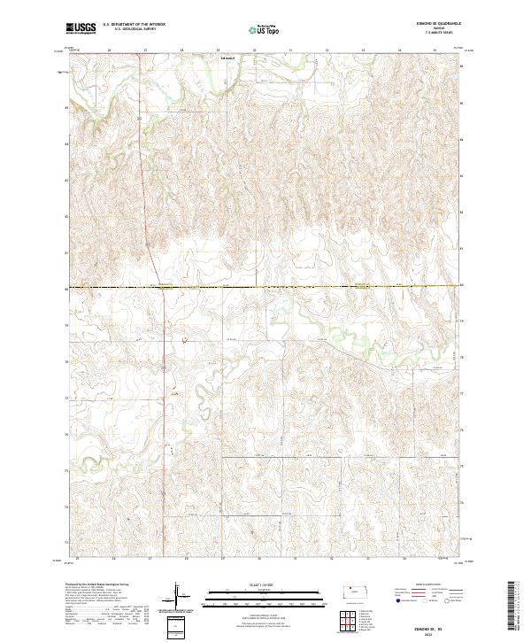
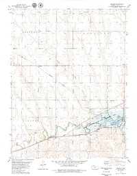
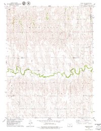
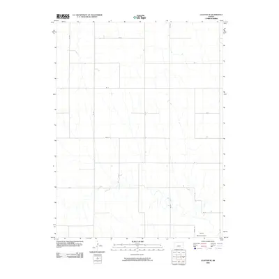
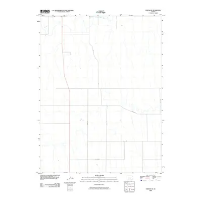
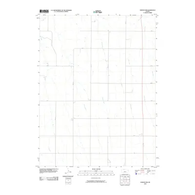
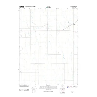
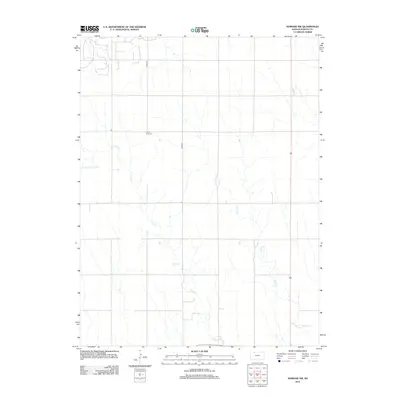
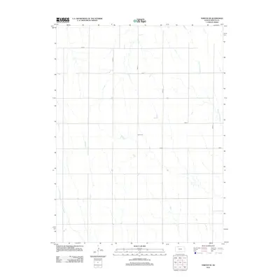
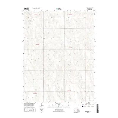
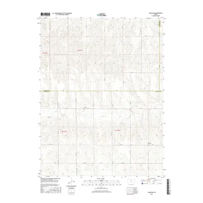
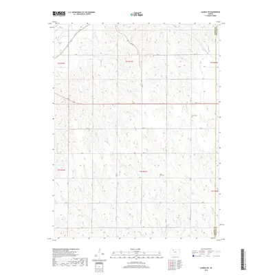
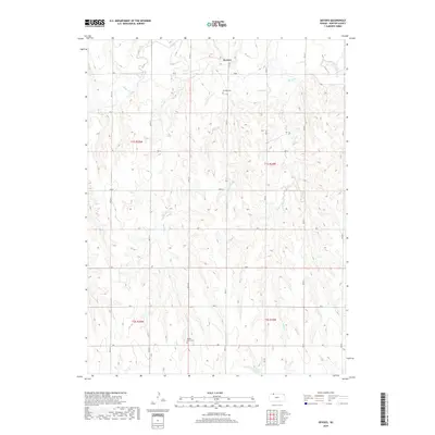
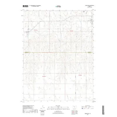
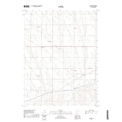
2022 Map of Edmond SE
USGS Topo · Published 2022About this map
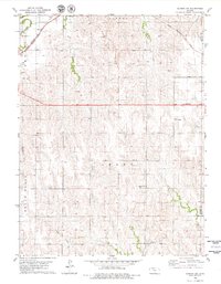
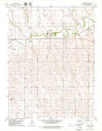
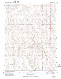
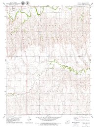
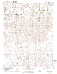
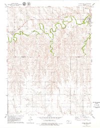
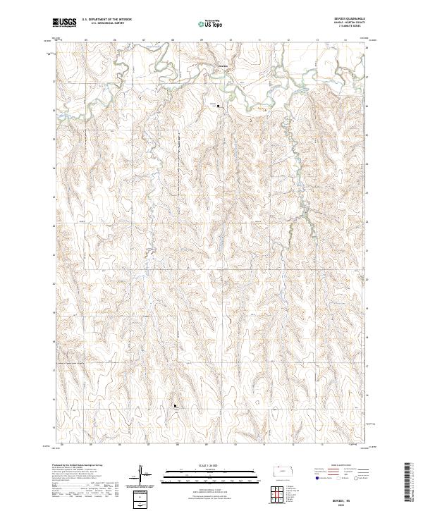
Edmond sits along the northern edge of this landscape, positioned just south of where Sand Cr joins the N Fork Solomon River. The terrain is defined by the deep incisions of the river and its tributaries, creating a complex series of ridges and draws across the Kansas plains. Further south, the map documents the Bow Cr watershed as it snakes through the territory.
Find a feature on this map
34 named features on this map. Tap any name to fly to it.
Don’t see what you’re looking for? This feature index may not catch every label — zoom into the map to look around manually.
Map Details
Editions of this 2022 Edmond SE Map
This is the sole edition of this map. No revisions or reprints were ever made.
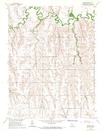
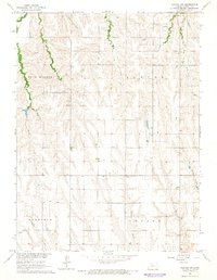
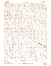
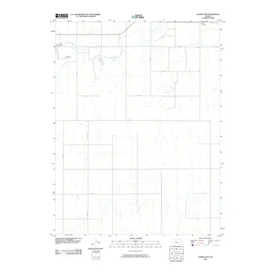
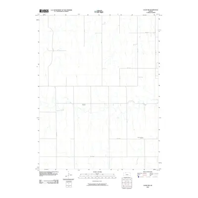
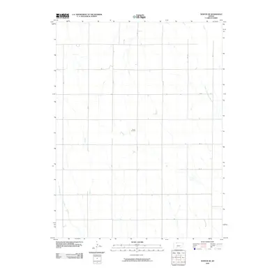
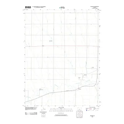
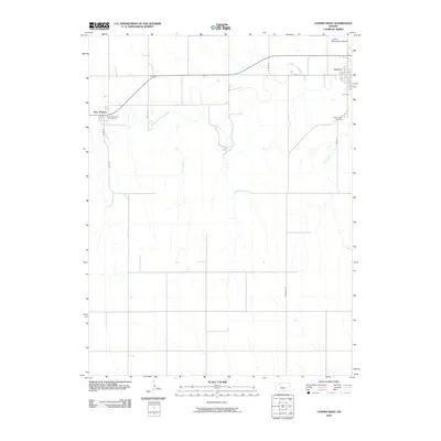
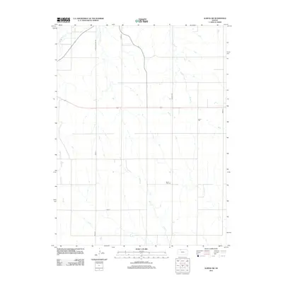
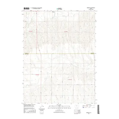
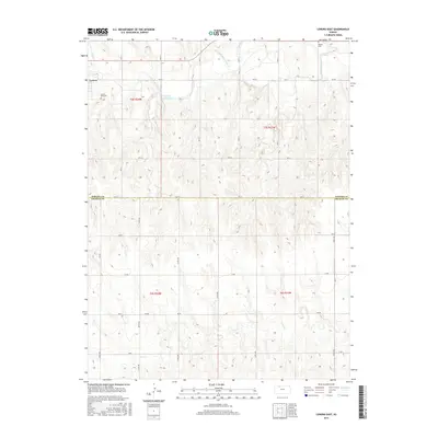
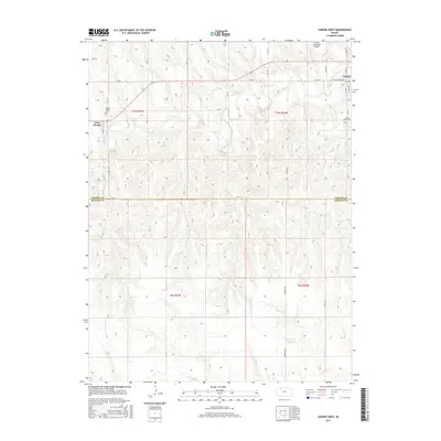
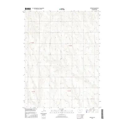
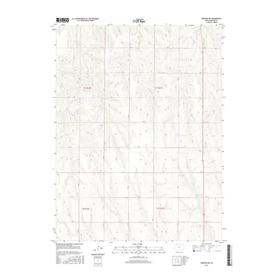
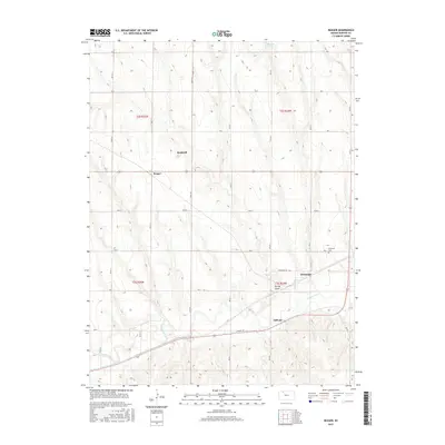
Historical Maps of Edmond Through Time
78 maps found
1965 Devizes
Norton County, KS
1965 Norton NW
Norton County, KS
1967 Norton NE
Norton County, KS
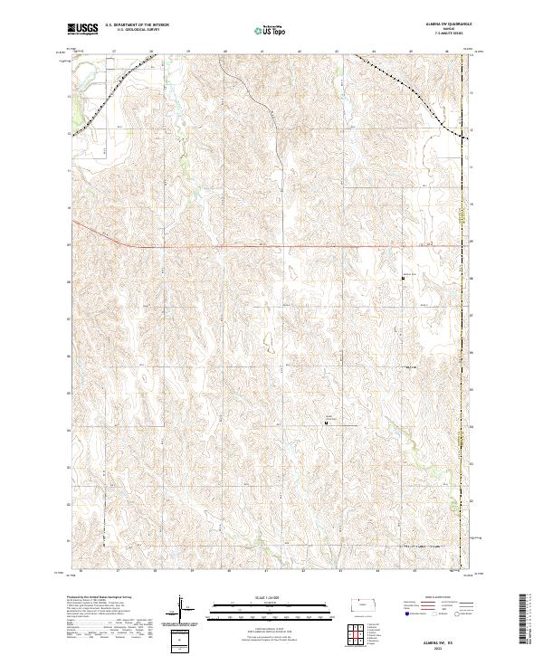
1978 Almena SW
Norton County, KS
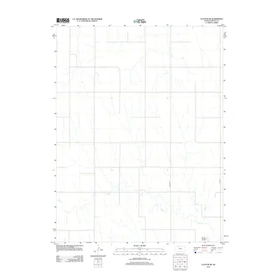
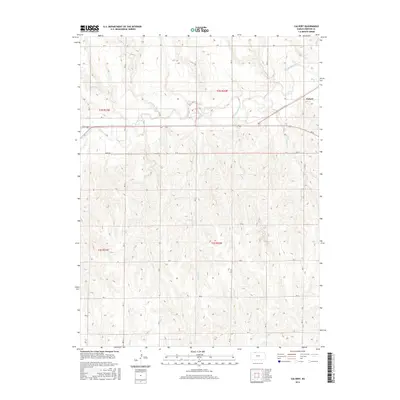
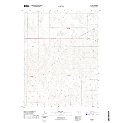
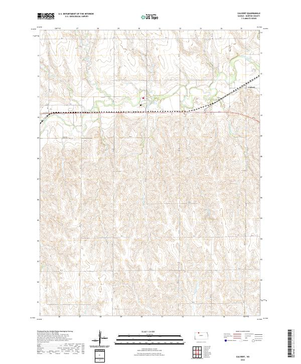
1978 Calvert
Norton County, KS
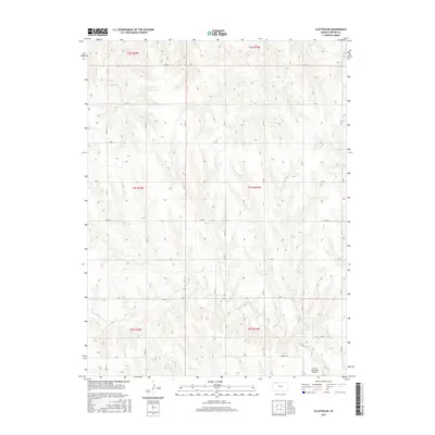
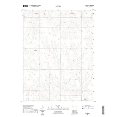
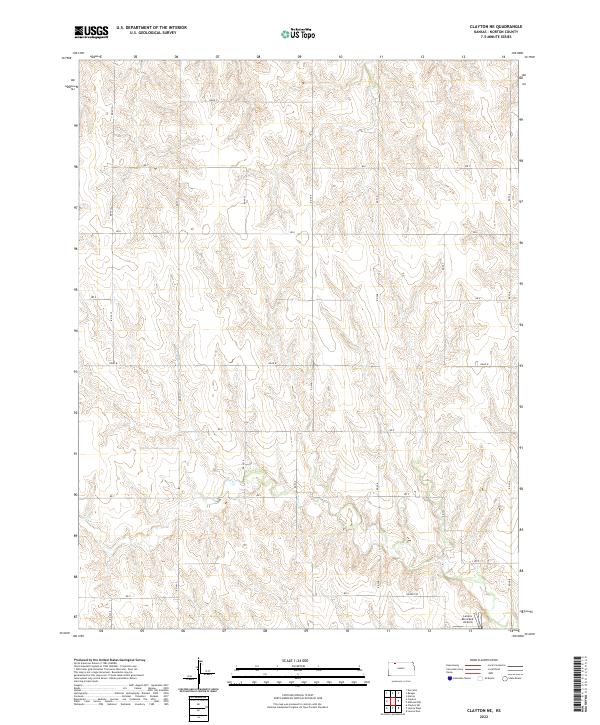
1978 Clayton NE
Norton County, KS
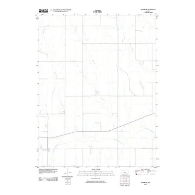
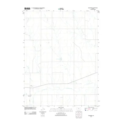
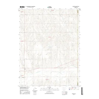
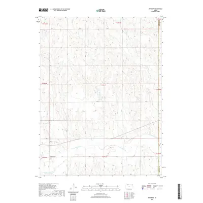
1978 Densmore
Norton County, KS
1978 Edmond NW
Norton County, KS
1978 Edmond SE
Norton County, KS
1978 Lenora East
Norton County, KS
1978 Lenora West
Norton County, KS
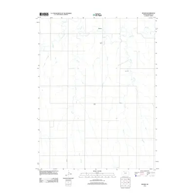
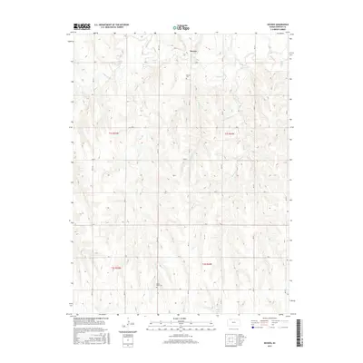
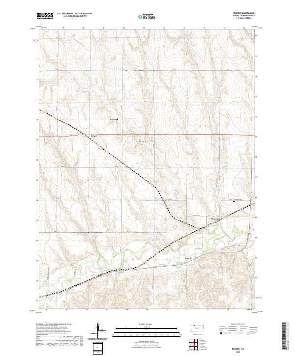
1978 Reager
Norton County, KS
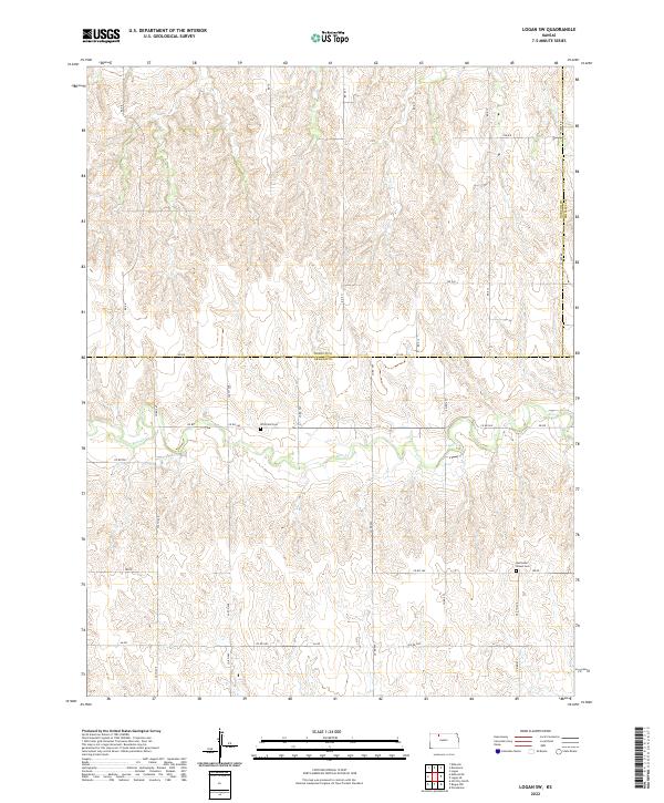
1979 Logan SW
Norton County, KS
2009 Almena SW
Norton County, KS
2009 Calvert
Norton County, KS
2009 Clayton NE
Norton County, KS
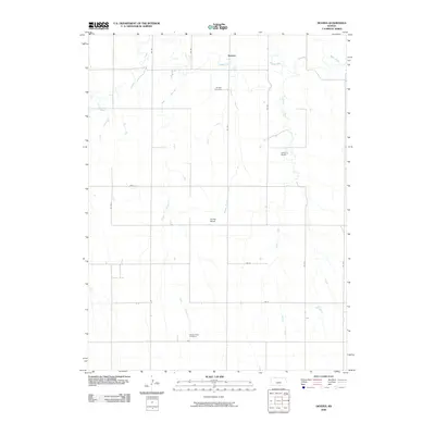
2009 Densmore
Norton County, KS
2009 Devizes
Norton County, KS
2009 Edmond NW
Norton County, KS
2009 Edmond SE
Norton County, KS
2009 Lenora East
Norton County, KS
2009 Logan SW
Norton County, KS
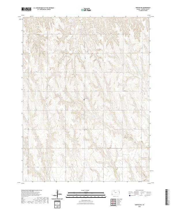
2009 Norton NE
Norton County, KS
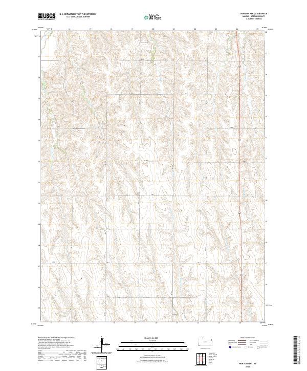
2009 Norton NW
Norton County, KS
2009 Reager
Norton County, KS
2010 Lenora West
Norton County, KS
2012 Almena SW
Norton County, KS
2012 Calvert
Norton County, KS
2012 Clayton NE
Norton County, KS
2012 Densmore
Norton County, KS
2012 Devizes
Norton County, KS
2012 Edmond NW
Norton County, KS
2012 Edmond SE
Norton County, KS
2012 Lenora East
Norton County, KS

2012 Lenora West
Norton County, KS
2012 Logan SW
Norton County, KS
2012 Norton NE
Norton County, KS
2012 Norton NW
Norton County, KS
2012 Reager
Norton County, KS
2015 Almena SW
Norton County, KS
2015 Calvert
Norton County, KS
2015 Clayton NE
Norton County, KS
2015 Densmore
Norton County, KS
2015 Devizes
Norton County, KS
2015 Edmond NW
Norton County, KS
2015 Edmond SE
Norton County, KS
2015 Lenora East
Norton County, KS
2015 Lenora West
Norton County, KS
2015 Logan SW
Norton County, KS
2015 Norton NE
Norton County, KS
2015 Norton NW
Norton County, KS
2015 Reager
Norton County, KS
2018 Almena SW
Norton County, KS
2018 Calvert
Norton County, KS
2018 Clayton NE
Norton County, KS
2018 Densmore
Norton County, KS
2018 Devizes
Norton County, KS
2018 Edmond NW
Norton County, KS
2018 Edmond SE
Norton County, KS
2018 Lenora East
Norton County, KS
2018 Lenora West
Norton County, KS
2018 Logan SW
Norton County, KS
2018 Norton NE
Norton County, KS
2018 Norton NW
Norton County, KS
2018 Reager
Norton County, KS
2022 Almena SW
Norton County, KS
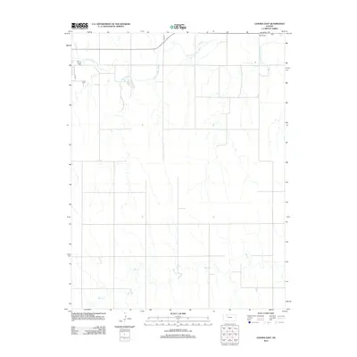
2022 Calvert
Norton County, KS
2022 Clayton NE
Norton County, KS
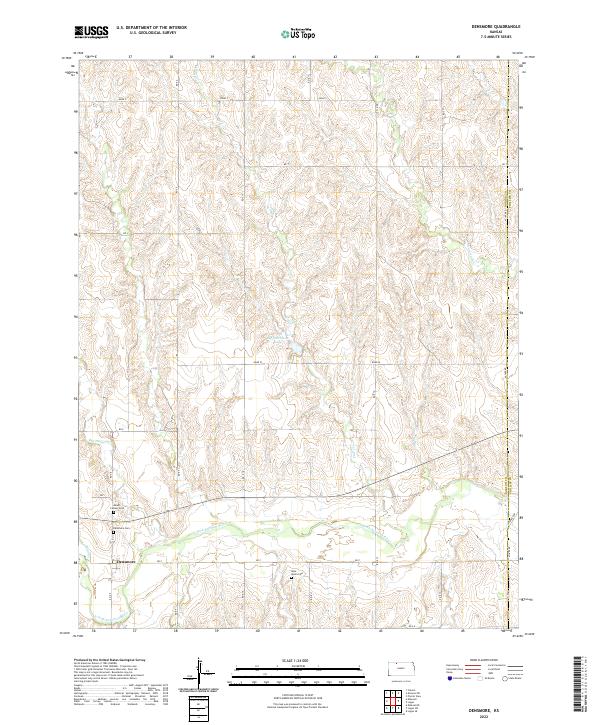
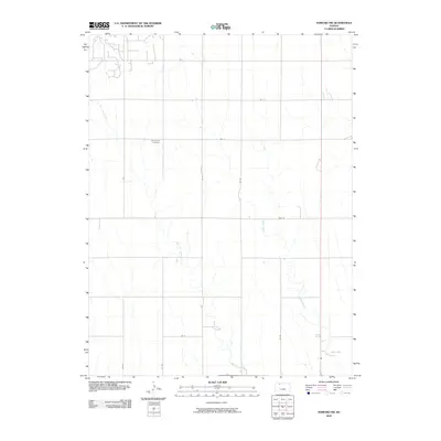
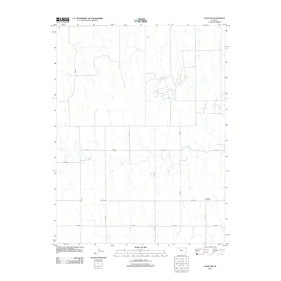
2022 Densmore
Norton County, KS
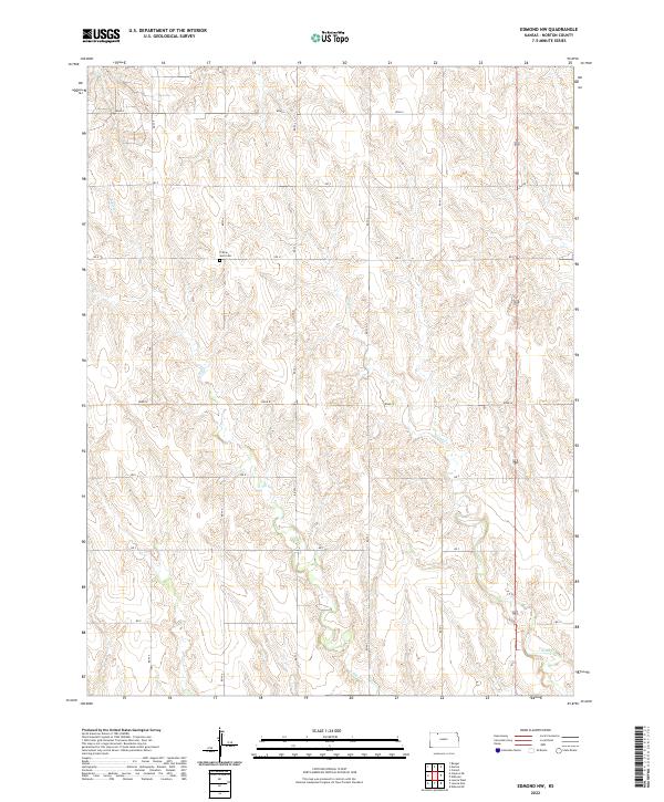
2022 Edmond NW
Norton County, KS
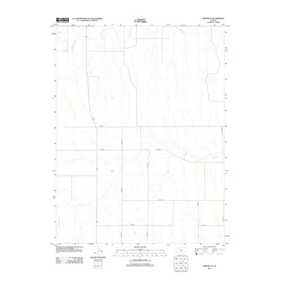
2022 Edmond SE
Norton County, KS
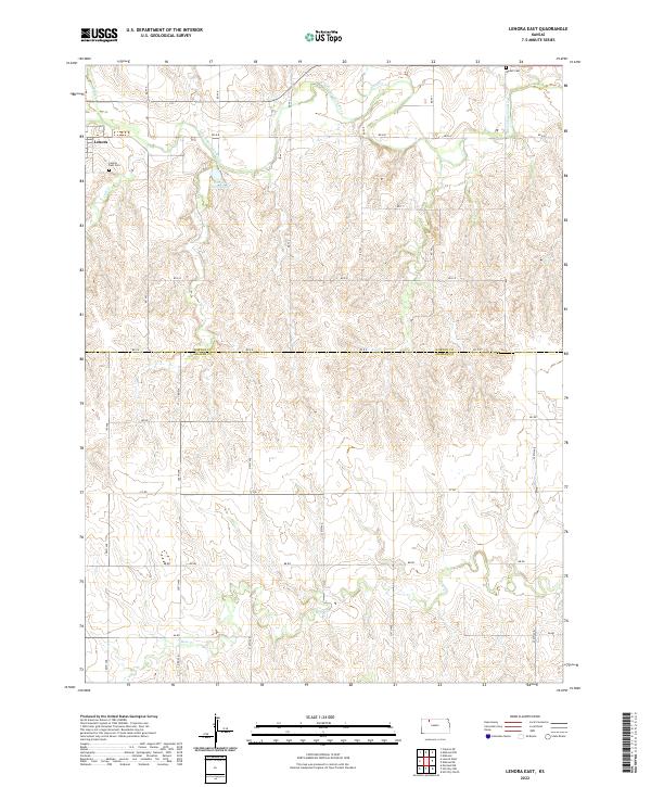
2022 Lenora East
Norton County, KS
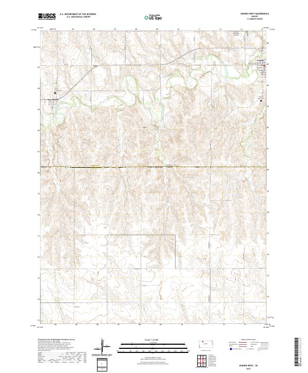
2022 Lenora West
Norton County, KS
2022 Logan SW
Norton County, KS
2022 Norton NE
Norton County, KS
2022 Norton NW
Norton County, KS
2022 Reager
Norton County, KS
2023 Devizes
Norton County, KS