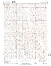
1978 Map of Edmond NW
USGS Topo · Published 1979About this map
Prairie Gem Cem sits near the heart of this Norton County landscape, where the agricultural plains of western Kansas are etched by the winding courses of East Elk Creek and Sand Creek. The map documents a rural transition during the late 1970s, showing the varied land use between townships such as Leota and Highland. Local economic activity is visible through scattered resource extraction sites, including an Oil Field in the north and various Sandpits and Gravel Pits concentrated near the watercourses. The small community hubs of Orange and Modell serve as primary landmarks for the surrounding homesteads and farms, while the Hardman site provides a specific point of reference for local family history and geographic orientation.
Find a feature on this map
16 named features on this map. Tap any name to fly to it.
Don’t see what you’re looking for? This feature index may not catch every label — zoom into the map to look around manually.
Map Details
Editions of this 1978 Edmond NW Map
This is the sole edition of this map. No revisions or reprints were ever made.
Other maps of this area

1893 · Norton
USGS Topo · 1:125,000

1951 · Norton
USGS Topo · 1:62,500

1951 · Norcatur
USGS Topo · 1:62,500

1954 · Goodland
USGS Topo · 1:250,000

1955 · Beloit
USGS Topo · 1:250,000

1956 · Goodland
USGS Topo · 1:250,000

1957 · Goodland
USGS Topo · 1:250,000

1959 · Beloit
USGS Topo · 1:250,000
1978 · Calvert
USGS Topo · 1:24,000

1978 · Edmond
USGS Topo · 1:24,000