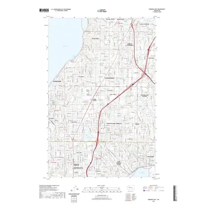
2020 Map of Edmonds East
USGS Topo · Published 2020About this map
The suburban corridor between Edmonds and Kenmore is documented in this 2020 survey, illustrating a landscape defined by its proximity to both Puget Sound and Lake Washington. The map highlights the dense residential development and educational centers of the region, including Edmonds Community College and Central Washington University. A significant geographic transition occurs at the Snohomish Co and King Co boundary line, which splits several established neighborhoods and watersheds.
Find a feature on this map
100 named features on this map. Tap any name to fly to it.
Don’t see what you’re looking for? This feature index may not catch every label — zoom into the map to look around manually.
Map Details
Editions of this 2020 Edmonds East Map
This is the sole edition of this map. No revisions or reprints were ever made.
Other maps of this area

1894 · Seattle
USGS Topo · 1:62,500

1895 · Snohomish
USGS Topo · 1:125,000

1897 · Seattle
USGS Topo · 1:125,000

1908 · Seattle
USGS Topo · 1:62,500

1909 · Seattle Special
USGS Topo · 1:62,500

1942 · Edmonds
USGS Topo · 1:62,500

1944 · Everett
USGS Topo · 1:62,500

1949 · Shilshole Bay
USGS Topo · 1:24,000

1949 · Seattle North
USGS Topo · 1:24,000

1950 · Kirkland
USGS Topo · 1:24,000