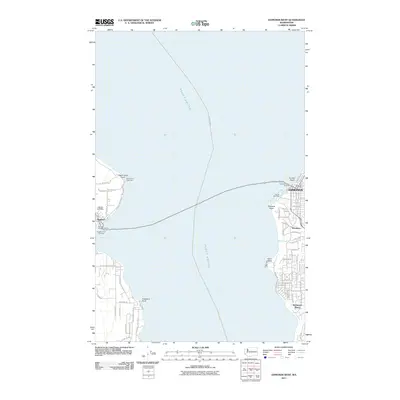
2011 Map of Edmonds West
USGS Topo · Published 2011About this map
Puget Sound serves as the central corridor of this coastal survey, connecting the maritime communities of Edmonds and Kingston. The map documents the vital transit infrastructure of the region, specifically the Edmonds-Kingston ferry route linking the Edmonds Ferry Landing to the Kingston Ferry Landing. On the eastern shore, the residential patterns of Woodway and Richmond Beach are clearly defined, with local drainages like Shelleberger Creek and Deer Creek breaking the suburban grid.
Find a feature on this map
65 named features on this map. Tap any name to fly to it.
Don’t see what you’re looking for? This feature index may not catch every label — zoom into the map to look around manually.
Map Details
Editions of this 2011 Edmonds West Map
This is the sole edition of this map. No revisions or reprints were ever made.
Other maps of this area

1894 · Seattle
USGS Topo · 1:62,500

1895 · Snohomish
USGS Topo · 1:125,000

1897 · Seattle
USGS Topo · 1:125,000

1908 · Seattle
USGS Topo · 1:62,500

1909 · Seattle Special
USGS Topo · 1:62,500

1937 · Port Orchard
USGS Topo · 1:62,500

1937 · Port Gamble
USGS Topo · 1:62,500

1940 · Port Gamble
USGS Topo · 1:62,500

1942 · Edmonds
USGS Topo · 1:62,500

1949 · Shilshole Bay
USGS Topo · 1:24,000