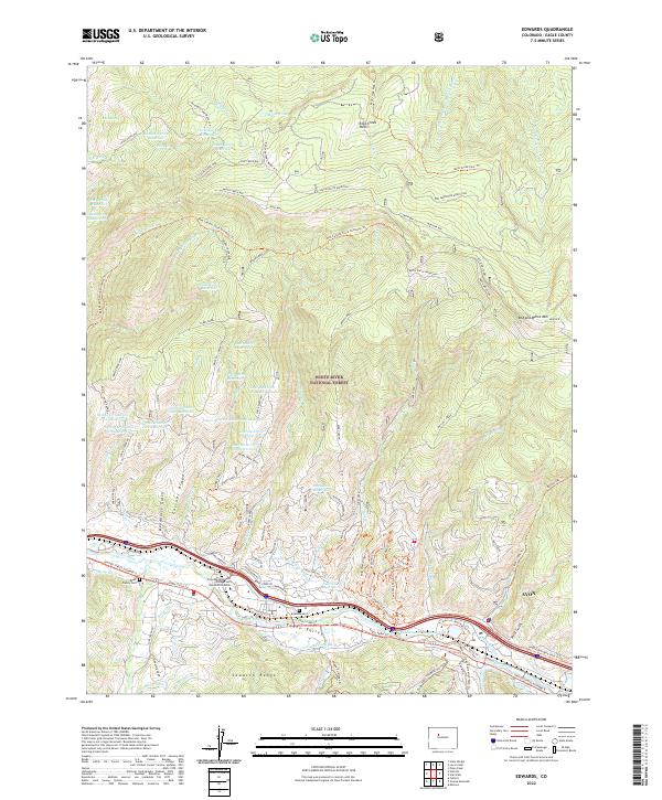
2022 Map of Edwards
USGS Topo · Published 2022About this map
White River National Forest and the Sawatch Range dominate this landscape, where the Eagle River carves through the Eagle Valley. The terrain is defined by a dense network of high-altitude water management, including the Indian Grove Reservoir, James Spring Reservoir, and several basins like Lost Reservoir Number One and Lost Reservoir Number Two. These features suggest a sophisticated history of irrigation and ranching support in a high-alpine environment. Along the valley floor, the settlement of Avon and the campus of Colorado Mountain College Vail Valley At Edwards mark the modern corridor of United States Highway 6. Local genealogy is anchored by the Brett Family Cem and Edwards Cem, while numerous historic trails such as the Red Canyon Stock Driveway Trl and Cache Creek Way trace the routes of early travel and livestock movement across Casteel Ridge.
Find a feature on this map
101 named features on this map. Tap any name to fly to it.
Don’t see what you’re looking for? This feature index may not catch every label — zoom into the map to look around manually.
Map Details
Editions of this 2022 Edwards Map
This is the sole edition of this map. No revisions or reprints were ever made.
Other maps of this area

1933 · Mt. Powell
USGS Topo · 1:48,000

1934 · Minturn
USGS Topo · 1:62,500

1940 · Mount Powell
USGS Topo · 1:62,500

1950 · Minturn
USGS Topo · 1:62,500

1957 · Leadville
USGS Topo · 1:250,000

1959 · Leadville
USGS Topo · 1:250,000

1960 · Leadville
USGS Topo · 1:250,000

1962 · Leadville
USGS Topo · 1:250,000

1962 · Grouse Mountain
USGS Topo · 1:24,000

1962 · Fulford
USGS Topo · 1:24,000