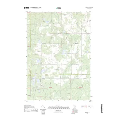
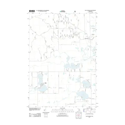
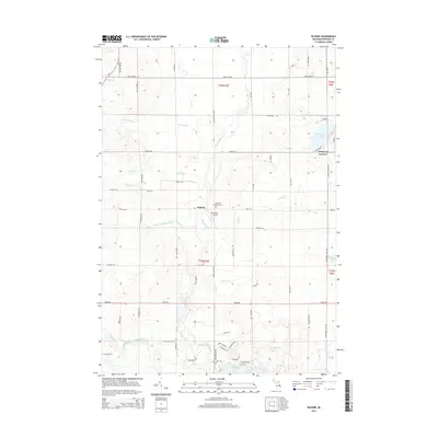
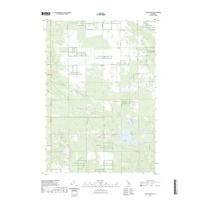
2023 Map of Edwards
USGS Topo · Published 2023About this map
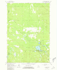
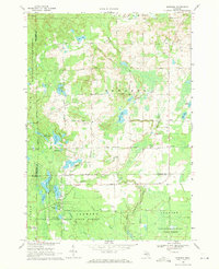
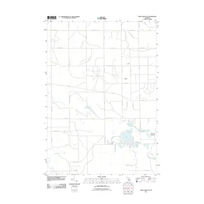
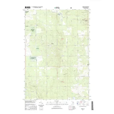
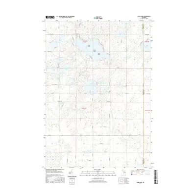
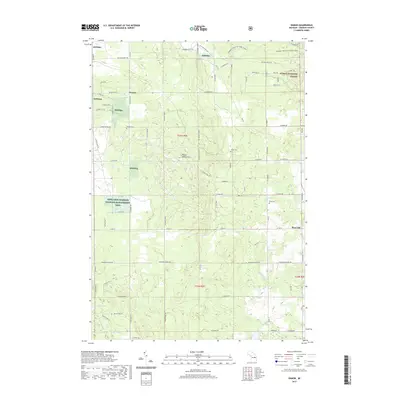
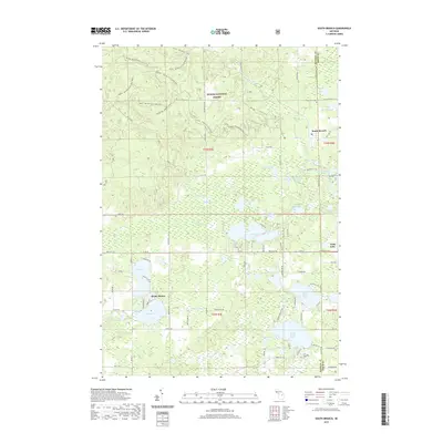
The Middle Branch Tittabawassee River winds through this central Michigan landscape, defining a terrain dominated by expansive wetlands and a dense network of glacial lakes. In the heart of the quadrangle, the Edwards Cem sits near Edwards Lake, providing a clear focal point for genealogical research in Ogemaw County. The map captures an area rich in outdoor recreation and historical transit, marked by the long-distance Midland To Mackinaw Boy Scout Trl and the M-30 North Gladwin Mccct Trl.
Find a feature on this map
63 named features on this map. Tap any name to fly to it.
Don’t see what you’re looking for? This feature index may not catch every label — zoom into the map to look around manually.
Map Details
Editions of this 2023 Edwards Map
This is the sole edition of this map. No revisions or reprints were ever made.
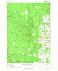
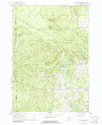
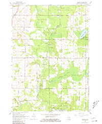
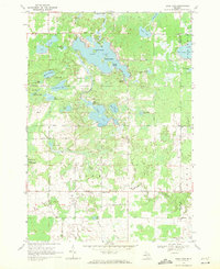
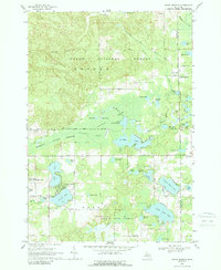
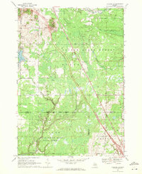
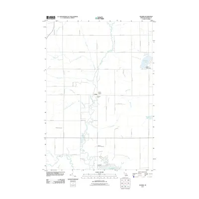
Historical Maps of Edwards Through Time
48 maps found
1965 Damon
Ogemaw County, MI
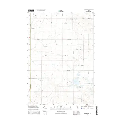
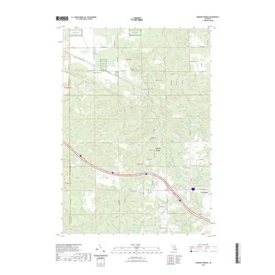
1965 Ogemaw Springs
Ogemaw County, MI
1965 Selkirk
Ogemaw County, MI
1965 St. Helen NE
Ogemaw County, MI
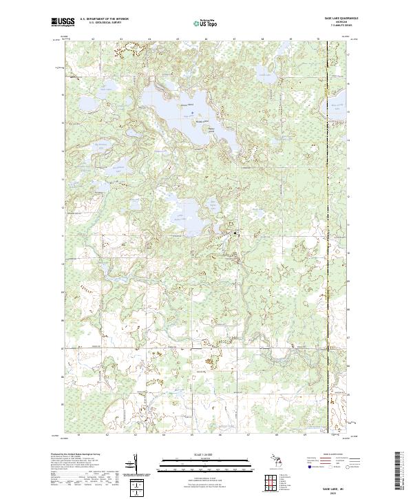
1968 Sage Lake
Ogemaw County, MI
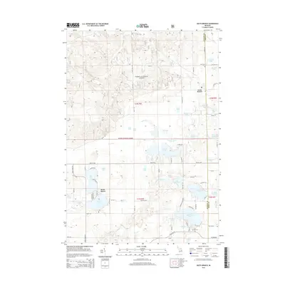
1968 South Branch
Ogemaw County, MI
1968 Sterling NW
Ogemaw County, MI
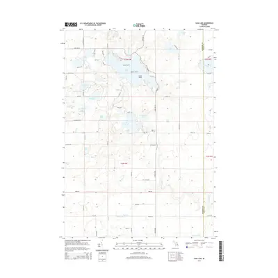
1969 Edwards
Ogemaw County, MI
2011 Edwards
Ogemaw County, MI
2011 Ogemaw Springs
Ogemaw County, MI
2011 Sage Lake
Ogemaw County, MI
2011 Saint Helen NE
Ogemaw County, MI
2011 Selkirk
Ogemaw County, MI
2011 Sterling NW
Ogemaw County, MI
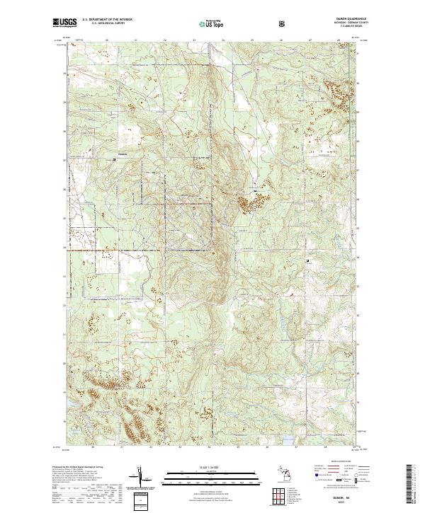
2012 Damon
Ogemaw County, MI
2012 South Branch
Ogemaw County, MI
2014 Damon
Ogemaw County, MI
2014 Edwards
Ogemaw County, MI
2014 Ogemaw Springs
Ogemaw County, MI
2014 Sage Lake
Ogemaw County, MI
2014 Saint Helen NE
Ogemaw County, MI
2014 Selkirk
Ogemaw County, MI
2014 South Branch
Ogemaw County, MI
2014 Sterling NW
Ogemaw County, MI
2017 Damon
Ogemaw County, MI
2017 Edwards
Ogemaw County, MI
2017 Ogemaw Springs
Ogemaw County, MI
2017 Sage Lake
Ogemaw County, MI
2017 Saint Helen NE
Ogemaw County, MI
2017 Selkirk
Ogemaw County, MI
2017 South Branch
Ogemaw County, MI
2017 Sterling NW
Ogemaw County, MI
2019 Damon
Ogemaw County, MI
2019 Edwards
Ogemaw County, MI
2019 Ogemaw Springs
Ogemaw County, MI
2019 Sage Lake
Ogemaw County, MI
2019 Saint Helen NE
Ogemaw County, MI
2019 Selkirk
Ogemaw County, MI
2019 South Branch
Ogemaw County, MI
2019 Sterling NW
Ogemaw County, MI
2023 Damon
Ogemaw County, MI
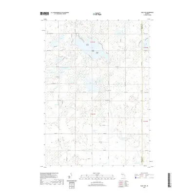
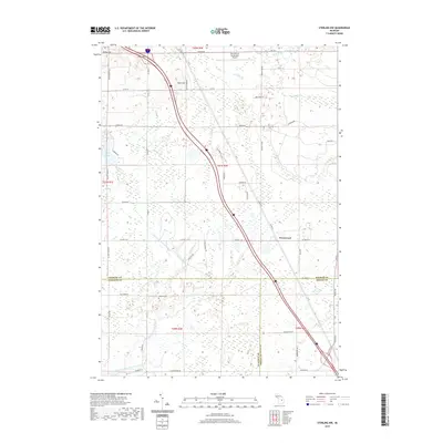
2023 Edwards
Ogemaw County, MI
2023 Ogemaw Springs
Ogemaw County, MI
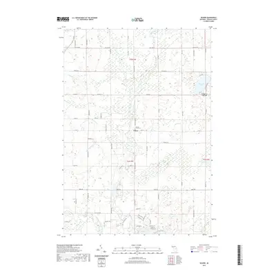
2023 Sage Lake
Ogemaw County, MI
2023 Saint Helen NE
Ogemaw County, MI
2023 Selkirk
Ogemaw County, MI
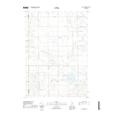
2023 South Branch
Ogemaw County, MI
2023 Sterling NW
Ogemaw County, MI
Featured Locations
- Nester Township, MI
- Edwards Township, MI
- Bourret Township, MI
- Butman Township, MI
- Edwards, Edwards Township