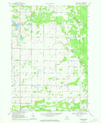
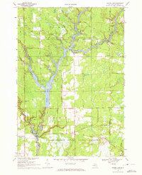
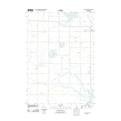
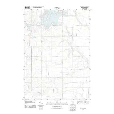
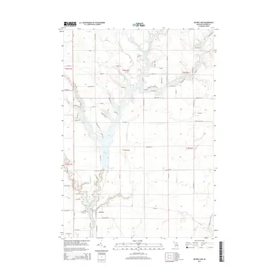
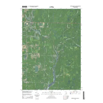
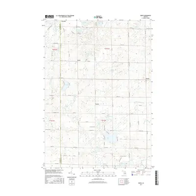
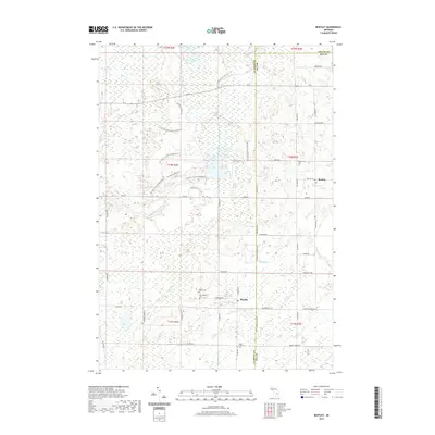
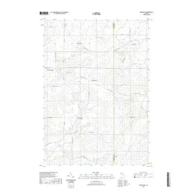
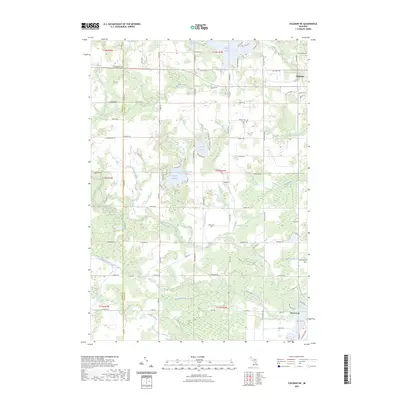
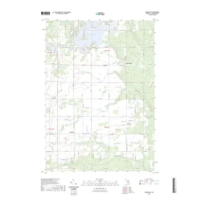
1969 Map of Wagarville
USGS Topo · Published 1971About this map
The Tittabawassee River and its West Branch define the northeastern landscape of this Gladwin County region, where the Sugar River also winds toward the Sugar Rapids. The late 1960s rural character is defined by dispersed settlements like Wagarville, McClure, and Hockaday, connected by a network of section-line roads named for local families such as Ritchie Road and Wirtz Road. This era reflects a community centered around its local institutions, evidenced by the McClure Ch, Long Lake Ch, and the Miracle Mission. For genealogists and local historians, the map provides precise locations for the McClure Cem and Ridge Cem. The western edge is dotted with recreation and residential pockets near Lochbrae, Sherman Lake, and Pratt Lake, while the eastern boundary is anchored by the protected State Forest.
Find a feature on this map
47 named features on this map. Tap any name to fly to it.
Don’t see what you’re looking for? This feature index may not catch every label — zoom into the map to look around manually.
Map Details
Editions of this 1969 Wagarville Map
This is the sole edition of this map. No revisions or reprints were ever made.
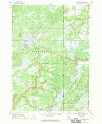
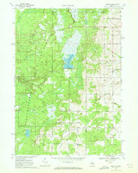
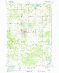
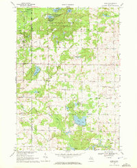
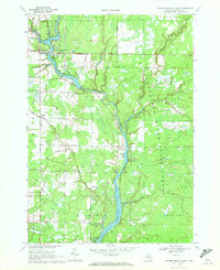
Historical Maps of Gladwin Township Through Time
42 maps found
1968 Sterling SW
Gladwin County, MI
1969 Bentley
Gladwin County, MI
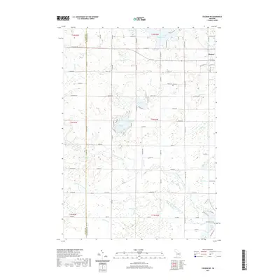
1969 Coleman NE
Gladwin County, MI
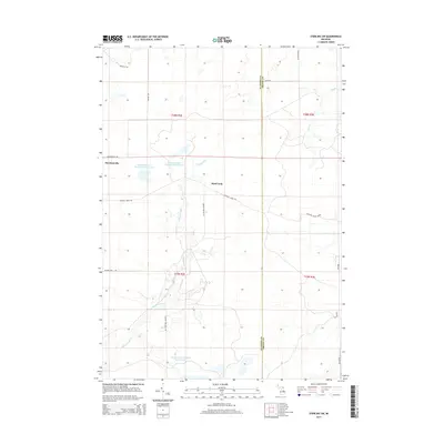
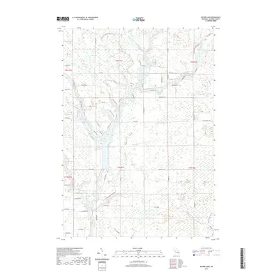
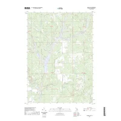
1969 Secord Lake
Gladwin County, MI
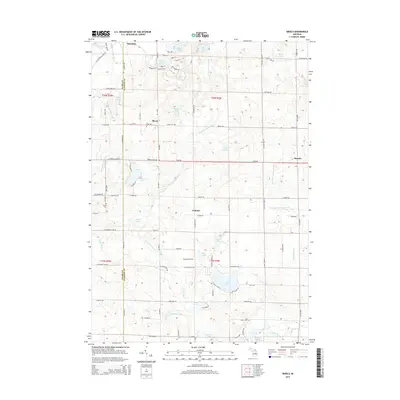
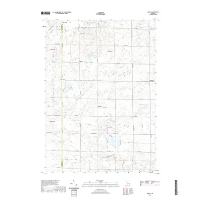
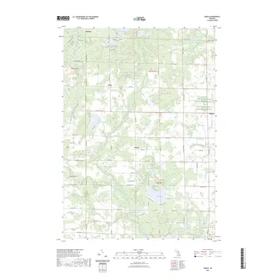
1969 Skeels
Gladwin County, MI
1969 Wagarville
Gladwin County, MI
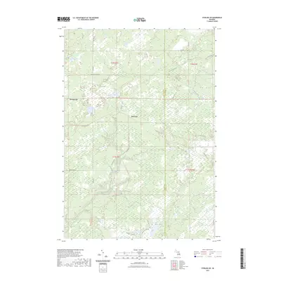
1969 Wooden Shoe Village
Gladwin County, MI
2011 Bentley
Gladwin County, MI
2011 Coleman NE
Gladwin County, MI
2011 Secord Lake
Gladwin County, MI
2011 Skeels
Gladwin County, MI
2011 Sterling SW
Gladwin County, MI
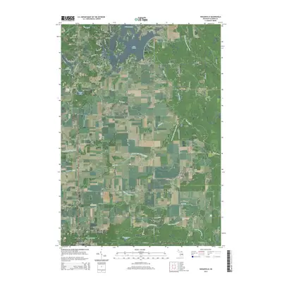
2011 Wagarville
Gladwin County, MI
2011 Wooden Shoe Village
Gladwin County, MI
2014 Bentley
Gladwin County, MI
2014 Coleman NE
Gladwin County, MI
2014 Secord Lake
Gladwin County, MI
2014 Skeels
Gladwin County, MI
2014 Sterling SW
Gladwin County, MI
2014 Wagarville
Gladwin County, MI
2014 Wooden Shoe Village
Gladwin County, MI
2017 Bentley
Gladwin County, MI
2017 Coleman NE
Gladwin County, MI
2017 Secord Lake
Gladwin County, MI
2017 Skeels
Gladwin County, MI
2017 Sterling SW
Gladwin County, MI
2017 Wagarville
Gladwin County, MI
2017 Wooden Shoe Village
Gladwin County, MI
2019 Bentley
Gladwin County, MI
2019 Coleman NE
Gladwin County, MI
2019 Secord Lake
Gladwin County, MI
2019 Skeels
Gladwin County, MI
2019 Sterling SW
Gladwin County, MI
2019 Wagarville
Gladwin County, MI
2019 Wooden Shoe Village
Gladwin County, MI
2023 Bentley
Gladwin County, MI
2023 Coleman NE
Gladwin County, MI
2023 Secord Lake
Gladwin County, MI
2023 Skeels
Gladwin County, MI
2023 Sterling SW
Gladwin County, MI
2023 Wagarville
Gladwin County, MI
2023 Wooden Shoe Village
Gladwin County, MI
Featured Locations
- Butman Township, MI
- Gladwin Township, MI
- Sherman Township, MI
- Hockaday, Butman Township
- McClure, Gladwin Township