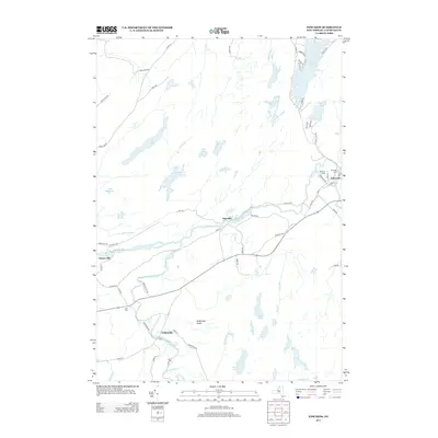
2013 Map of Edwards
USGS Topo · Published 2013About this map
The Oswegatchie River and its W Br Oswegatchie River carve a winding path through this corner of Saint Lawrence County, anchoring the historic settlements of Edwards, Taleville, Emeryville, and Fullerville. The landscape is defined by a dense network of water bodies, from the prominent Trout Lake in the northeast to smaller features like Huckleberry Lake, Moon Lake, and Bonner Lake.
Find a feature on this map
62 named features on this map. Tap any name to fly to it.
Don’t see what you’re looking for? This feature index may not catch every label — zoom into the map to look around manually.
Map Details
Editions of this 2013 Edwards Map
This is the sole edition of this map. No revisions or reprints were ever made.
Other maps of this area

1913 · Lake Bonaparte
USGS Topo · 1:62,500

1915 · Gouverneur
USGS Topo · 1:62,500

1915 · Russell
USGS Topo · 1:62,500

1916 · Lake Bonaparte
USGS Topo · 1:62,500

1916 · Oswegatchie
USGS Topo · 1:62,500

1918 · Russell
USGS Topo · 1:62,500

1918 · Oswegatchie
USGS Topo · 1:62,500

1937 · Gouverneur
USGS Topo · 1:62,500

1948 · Ogdensburg
USGS Topo · 1:250,000

1951 · Ogdensburg
USGS Topo · 1:250,000