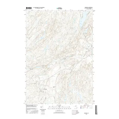
2016 Map of Edwards
USGS Topo · Published 2016About this map
The Oswegatchie River and its West Branch carve through the glacial landscape of Saint Lawrence County, anchoring settlements like Edwards, Emeryville, and Fullerville. This modern survey reveals the persistent patterns of New York's North Country, where rural development is closely tied to the complex hydrography of the Adirondack foothills. The northern reaches are defined by a cluster of water bodies including Trout Lake, Cedar Lake, and Chub Lake, while the southern terrain features the smaller Bonner Lake and Clear Lake. Genealogy researchers will find significant detail in the placement of local burial grounds such as Riverside Cem, Fairview Cem, and the more isolated Gulf Cem near the river. The road network, including Co Rd 19 and Fullerville Rd, connects these hamlets to the surrounding woodlands and the distinctive deposits at Fullerville Sands.
Find a feature on this map
55 named features on this map. Tap any name to fly to it.
Don’t see what you’re looking for? This feature index may not catch every label — zoom into the map to look around manually.
Map Details
Editions of this 2016 Edwards Map
This is the sole edition of this map. No revisions or reprints were ever made.
Other maps of this area
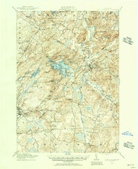
1913 · Lake Bonaparte
USGS Topo · 1:62,500
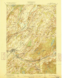
1915 · Gouverneur
USGS Topo · 1:62,500
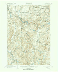
1915 · Russell
USGS Topo · 1:62,500
1916 · Lake Bonaparte
USGS Topo · 1:62,500
1916 · Oswegatchie
USGS Topo · 1:62,500
1918 · Russell
USGS Topo · 1:62,500
1918 · Oswegatchie
USGS Topo · 1:62,500
1937 · Gouverneur
USGS Topo · 1:62,500
1948 · Ogdensburg
USGS Topo · 1:250,000
1951 · Ogdensburg
USGS Topo · 1:250,000