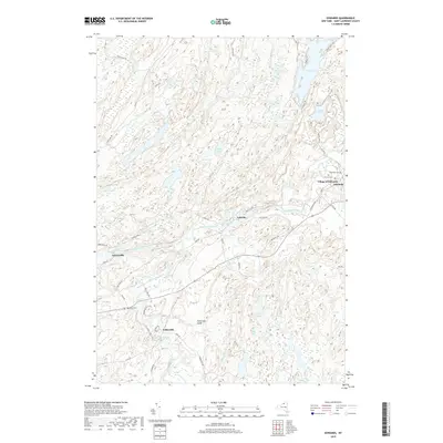
2019 Map of Edwards
USGS Topo · Published 2019About this map
The Oswegatchie River and its West Branch anchor this portion of Saint Lawrence County, where small industrial and residential settlements follow the water's course. The Village of Edwards serves as a primary hub, while downstream the community of Emeryville sits near Emeryville Falls. Further south, the map reveals the layout of Fullerville and the distinct area known as Fullerville Sands, illustrating a landscape shaped by both hydrology and early settlement patterns. Several water features including Trout Lake, Wolf Lake, and Moon Lake dominate the northern and central sections, suggesting a region where the natural environment and local hamlets are closely integrated.
Find a feature on this map
58 named features on this map. Tap any name to fly to it.
Don’t see what you’re looking for? This feature index may not catch every label — zoom into the map to look around manually.
Map Details
Editions of this 2019 Edwards Map
This is the sole edition of this map. No revisions or reprints were ever made.
Other maps of this area

1913 · Lake Bonaparte
USGS Topo · 1:62,500

1915 · Gouverneur
USGS Topo · 1:62,500

1915 · Russell
USGS Topo · 1:62,500

1916 · Lake Bonaparte
USGS Topo · 1:62,500

1916 · Oswegatchie
USGS Topo · 1:62,500

1918 · Russell
USGS Topo · 1:62,500

1918 · Oswegatchie
USGS Topo · 1:62,500

1937 · Gouverneur
USGS Topo · 1:62,500

1948 · Ogdensburg
USGS Topo · 1:250,000

1951 · Ogdensburg
USGS Topo · 1:250,000