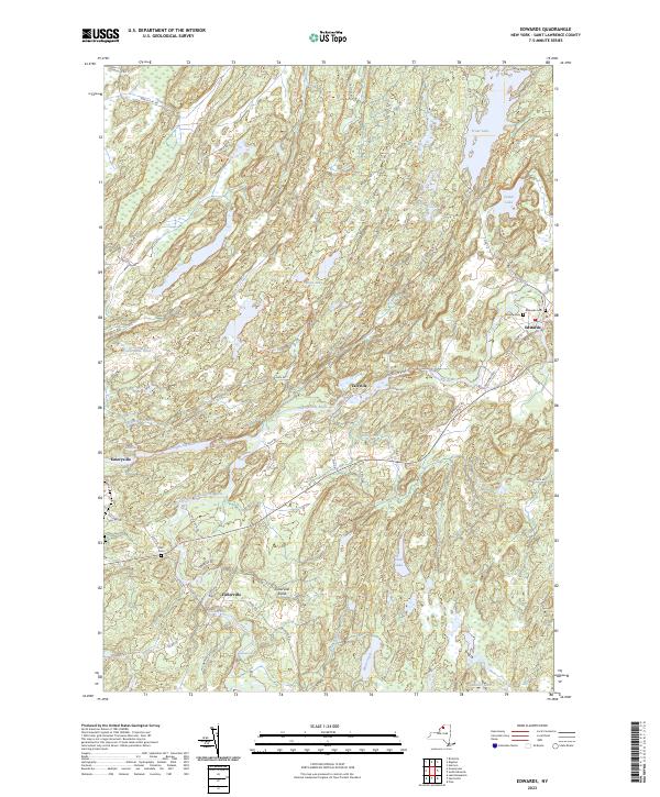
2023 Map of Edwards
USGS Topo · Published 2023About this map
The Oswegatchie River and its West Branch carve a complex path through this corner of St. Lawrence County, defining the industrial and social history of settlements like Edwards and Talcville. The river's power is evident at Emeryville Falls and Fullerville Falls, locations that historically anchored local milling and mining operations. Further south, the distinct hamlet of Fullerville Sands sits near Hazleton Falls, while the northern reaches are dominated by significant water bodies including Trout Lake and Cedar Lake.
Find a feature on this map
66 named features on this map. Tap any name to fly to it.
Don’t see what you’re looking for? This feature index may not catch every label — zoom into the map to look around manually.
Map Details
Editions of this 2023 Edwards Map
This is the sole edition of this map. No revisions or reprints were ever made.
Other maps of this area

1913 · Lake Bonaparte
USGS Topo · 1:62,500

1915 · Gouverneur
USGS Topo · 1:62,500

1915 · Russell
USGS Topo · 1:62,500

1916 · Lake Bonaparte
USGS Topo · 1:62,500

1916 · Oswegatchie
USGS Topo · 1:62,500

1918 · Russell
USGS Topo · 1:62,500

1918 · Oswegatchie
USGS Topo · 1:62,500

1937 · Gouverneur
USGS Topo · 1:62,500

1948 · Ogdensburg
USGS Topo · 1:250,000

1951 · Ogdensburg
USGS Topo · 1:250,000