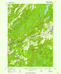
1956 Map of Edwards
USGS Topo · Published 1958About this map
The Oswegatchie River carves a central path through this mid-century landscape of St. Lawrence County, anchoring industrial and residential activity from Emeryville to Edwards. The era is defined by a mix of established infrastructure and expansion, evidenced by the presence of a Powerplant and a Chemical works site alongside several stretches of road marked as being Under Construction. In the village of Edwards, the presence of a High Sch, Fairview Cem, and Riverside Cem highlights a settled community core.
Find a feature on this map
48 named features on this map. Tap any name to fly to it.
Don’t see what you’re looking for? This feature index may not catch every label — zoom into the map to look around manually.
Map Details
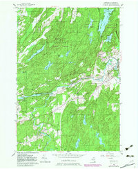
Editions of this 1956 Edwards Map
2 editions found
Other maps of this area

1913 · Lake Bonaparte
USGS Topo · 1:62,500

1915 · Gouverneur
USGS Topo · 1:62,500

1915 · Russell
USGS Topo · 1:62,500

1916 · Lake Bonaparte
USGS Topo · 1:62,500

1916 · Oswegatchie
USGS Topo · 1:62,500

1918 · Russell
USGS Topo · 1:62,500

1918 · Oswegatchie
USGS Topo · 1:62,500

1937 · Gouverneur
USGS Topo · 1:62,500

1948 · Ogdensburg
USGS Topo · 1:250,000

1951 · Ogdensburg
USGS Topo · 1:250,000