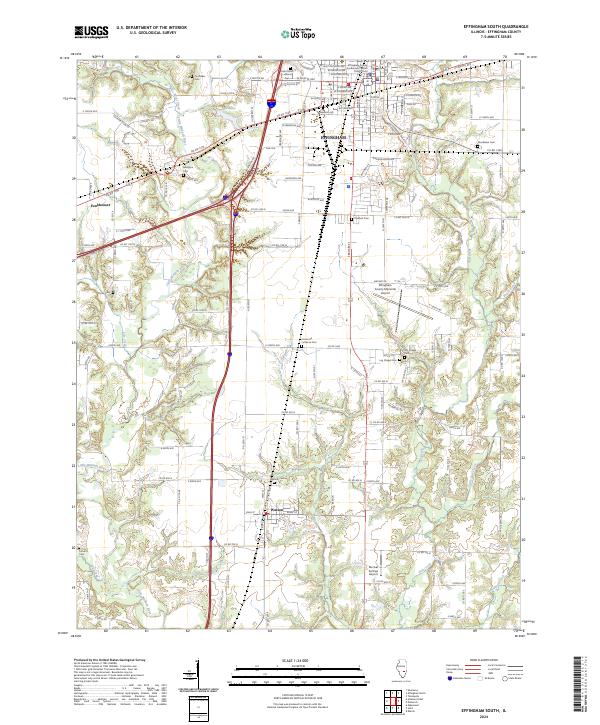
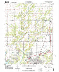
2024 Map of Effingham South
USGS Topo · Published 2024About this map
The city of Effingham serves as the focal point of this Illinois survey, highlighting its role as the regional hub at the Effingham County Government Center - Circuit Court. The map captures the suburban and rural transition south of the city, where the landscape is defined by the winding course of the Little Wabash River and its tributaries like Lily Creek and Blue Point Creek.
Find a feature on this map
84 named features on this map. Tap any name to fly to it.
Don’t see what you’re looking for? This feature index may not catch every label — zoom into the map to look around manually.
Map Details
Editions of this 2024 Effingham South Map
This is the sole edition of this map. No revisions or reprints were ever made.
Historical Maps of Effingham Through Time
13 maps found
1985 Altamont East
Effingham County, IL
1985 Eberle
Effingham County, IL
1985 Effingham North
Effingham County, IL
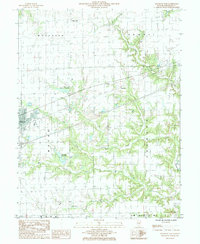
1985 Effingham South
Effingham County, IL
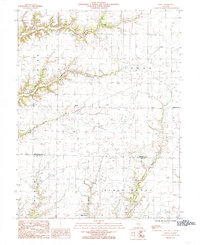
1985 Hord
Effingham County, IL
1998 Altamont East
Effingham County, IL
1998 Effingham North
Effingham County, IL
1998 Effingham South
Effingham County, IL
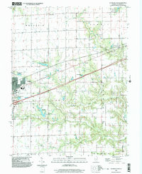
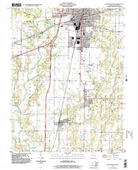
2024 Altamont East
Effingham County, IL
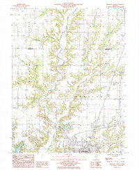
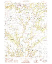
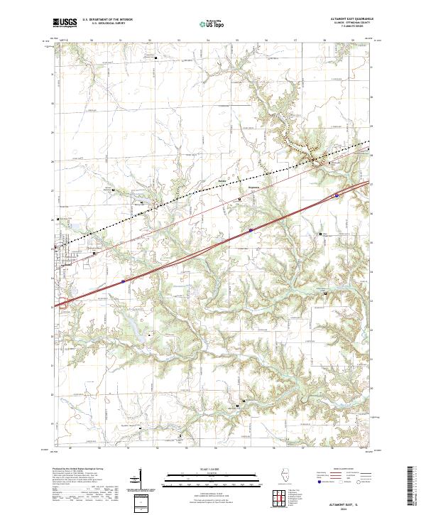
2024 Eberle
Effingham County, IL
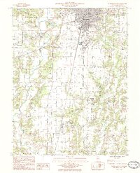
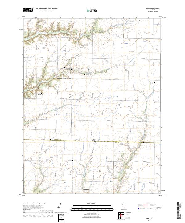
2024 Effingham North
Effingham County, IL
2024 Effingham South
Effingham County, IL
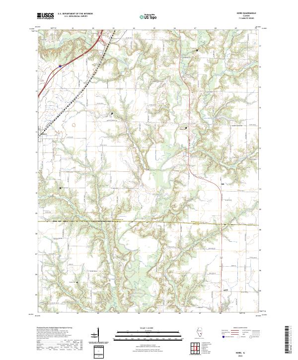
2024 Hord
Effingham County, IL