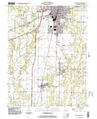
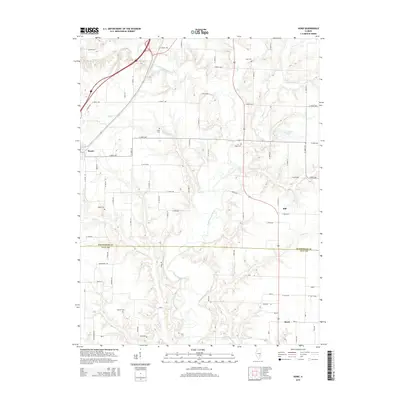
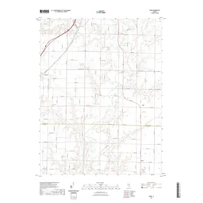
2024 Map of Hord
USGS Topo · Published 2024About this map
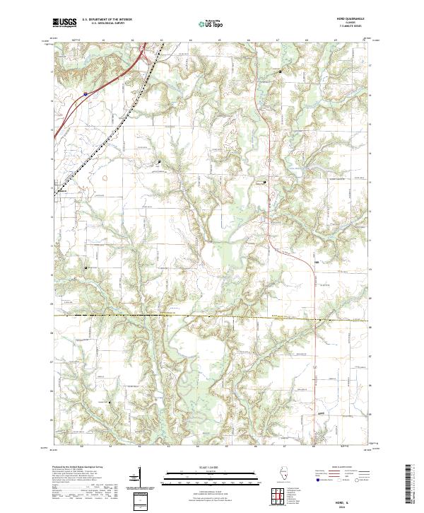
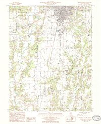
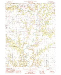
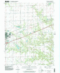
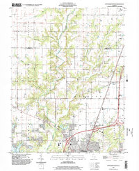
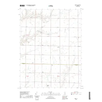
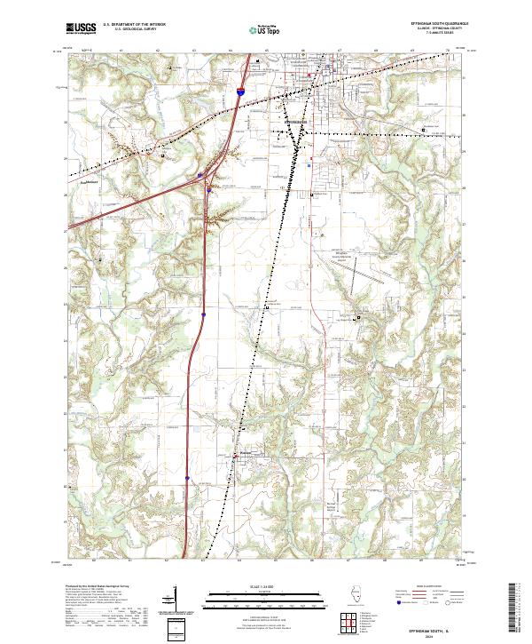
The Little Wabash River meanders through the central corridor of this landscape, forming the primary drainage system as it crosses from Effingham Co into Clay Co. Small agrarian settlements including Mason, Hill, and Hord anchor the rural road network, which is defined by a rigorous section-line grid. This pattern is interrupted only by the diagonal path of the Little Wabash River and its numerous tributaries such as Bishop Creek, Coon Creek, and Salt Creek. Local family history is preserved in several small burial grounds scattered throughout the quadrangle, including Hull Cem, Leith Cem, and Wright Cem. The presence of Lake Walter Scott and the crossing of Mason S Eberle Rd reflect the enduring infrastructure that connects these isolated communities in the Illinois prairie.
Find a feature on this map
98 named features on this map. Tap any name to fly to it.
Don’t see what you’re looking for? This feature index may not catch every label — zoom into the map to look around manually.
Map Details
Editions of this 2024 Hord Map
This is the sole edition of this map. No revisions or reprints were ever made.
Historical Maps of Mason Through Time
33 maps found
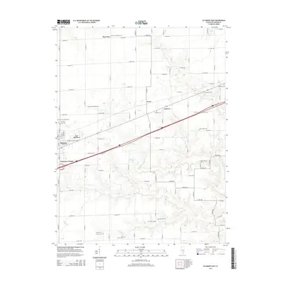
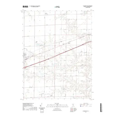
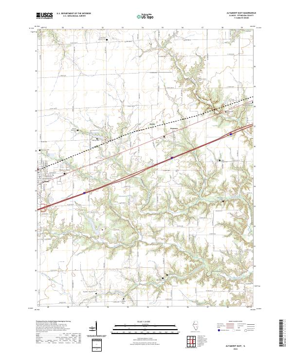
1985 Altamont East
Effingham County, IL
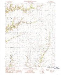
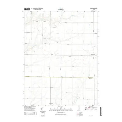
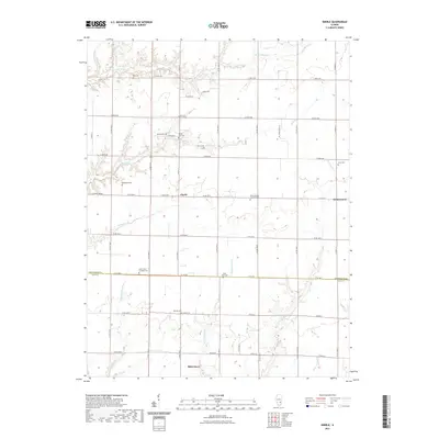
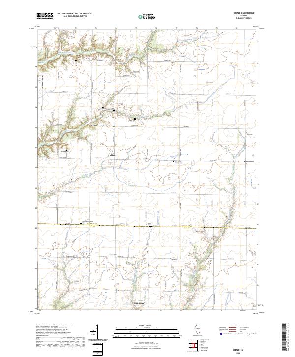
1985 Eberle
Effingham County, IL
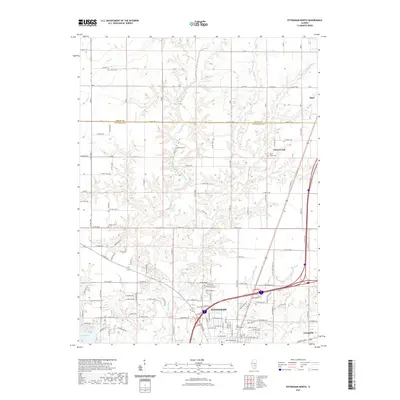
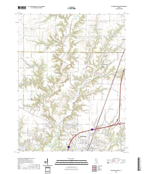
1985 Effingham North
Effingham County, IL
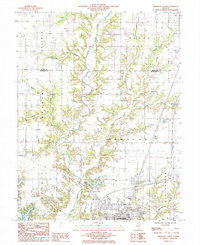
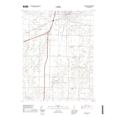
1985 Effingham South
Effingham County, IL
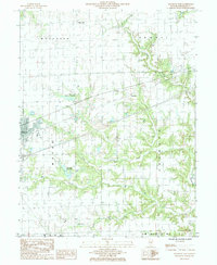
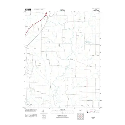
1985 Hord
Effingham County, IL
1998 Altamont East
Effingham County, IL
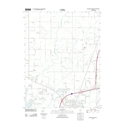
1998 Effingham North
Effingham County, IL
1998 Effingham South
Effingham County, IL
2012 Altamont East
Effingham County, IL
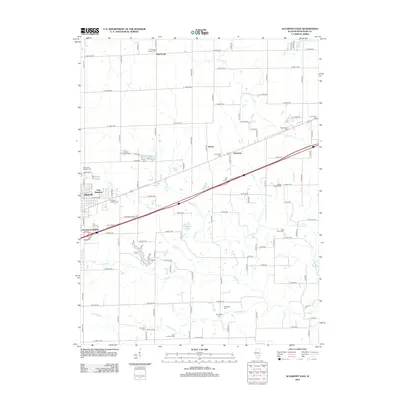
2012 Eberle
Effingham County, IL
2012 Effingham North
Effingham County, IL
2012 Effingham South
Effingham County, IL
2012 Hord
Effingham County, IL
2015 Altamont East
Effingham County, IL
2015 Eberle
Effingham County, IL
2015 Effingham North
Effingham County, IL
2015 Effingham South
Effingham County, IL
2015 Hord
Effingham County, IL
2018 Altamont East
Effingham County, IL
2018 Eberle
Effingham County, IL
2018 Effingham North
Effingham County, IL
2018 Effingham South
Effingham County, IL
2018 Hord
Effingham County, IL
2021 Altamont East
Effingham County, IL
2021 Eberle
Effingham County, IL
2021 Effingham North
Effingham County, IL
2021 Effingham South
Effingham County, IL
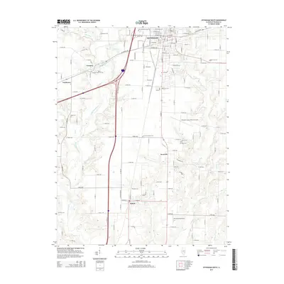
2021 Hord
Effingham County, IL
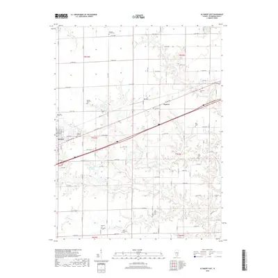
2024 Altamont East
Effingham County, IL
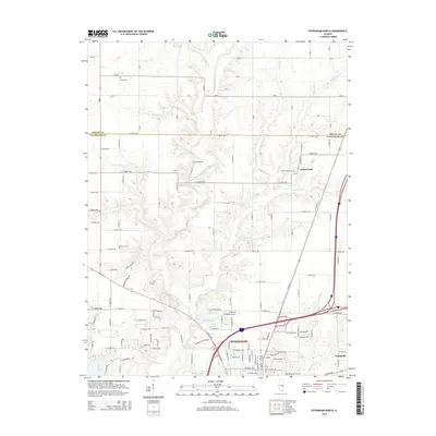
2024 Eberle
Effingham County, IL
2024 Effingham North
Effingham County, IL
2024 Effingham South
Effingham County, IL
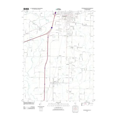
2024 Hord
Effingham County, IL