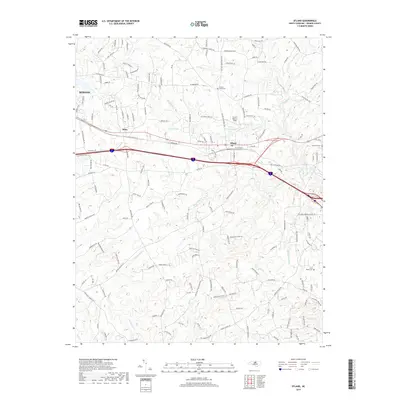
2019 Map of Efland
USGS Topo · Published 2019About this map
Efland and the eastern edge of Mebane anchor this study of the Orange County landscape, where modern transportation corridors intersect with deep-rooted community landmarks. The dual passage of Interstate 40 and 85 cuts through the central terrain, paralleling the historic rail line at Miles. This infrastructure serves as a modern layer over a topography defined by significant water systems, including the headwaters of the Eno River and the winding course of Sevenmile Creek.
Find a feature on this map
177 named features on this map. Tap any name to fly to it.
Don’t see what you’re looking for? This feature index may not catch every label — zoom into the map to look around manually.
Map Details
Editions of this 2019 Efland Map
This is the sole edition of this map. No revisions or reprints were ever made.
Other maps of this area

1946 · Chapel Hill
USGS Topo · 1:24,000

1947 · Chapel Hill
USGS Topo · 1:31,680

1953 · Raleigh
USGS Topo · 1:250,000

1953 · Greensboro
USGS Topo · 1:250,000

1954 · Greensboro
USGS Topo · 1:250,000

1954 · Raleigh
USGS Topo · 1:250,000

1962 · Greensboro
USGS Topo · 1:250,000

1966 · Greensboro
USGS Topo · 1:250,000

1967 · Cedar Grove
USGS Topo · 1:24,000

1968 · White Cross
USGS Topo · 1:24,000