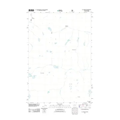
2011 Map of El Capitan
USGS Topo · Published 2011About this map
El Capitan and The Lonesome Bachelor dominate this high-altitude landscape along the Montana-Idaho border in the early 21st century. The terrain is defined by a dense network of alpine lakes and glacial basins, including the cluster of Big Grizzly Lake, Little Grizzly Lake, and Milepost Lake in the west. Human presence is concentrated around water management and seasonal recreation, evidenced by the Fish Lake Dam and the Bear Creek Pass Campground near the northern boundary. Drainage patterns are complex, with headwaters like Spruce Creek and Capitan Creek feeding into larger systems. The map illustrates a wilderness area where accessibility is limited to high passes, such as Bear Creek Pass, and broad openings like South Fork Meadows.
Find a feature on this map
28 named features on this map. Tap any name to fly to it.
Don’t see what you’re looking for? This feature index may not catch every label — zoom into the map to look around manually.
Map Details
Editions of this 2011 El Capitan Map
This is the sole edition of this map. No revisions or reprints were ever made.
Other maps of this area

1901 · Hamilton
USGS Topo · 1:125,000

1911 · Lolo
USGS Topo · 1:250,000

1913 · Lolo
USGS Topo · 1:250,000

1956 · Elk City
USGS Topo · 1:250,000

1956 · Hamilton
USGS Topo · 1:250,000

1959 · Hamilton
USGS Topo · 1:250,000

1960 · Elk City
USGS Topo · 1:250,000

1960 · Hamilton
USGS Topo · 1:250,000

1964 · Hamilton
USGS Topo · 1:250,000

1964 · Tenmile Lake
USGS Topo · 1:24,000