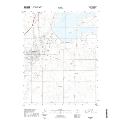
2018 Map of El Dorado
USGS Topo · Published 2018About this map
El Dorado and its residential extension, East El Dorado, serve as the focal point of this Butler County landscape where the West Branch Walnut River and the main stem of the Walnut River converge. The topography is defined by the significant reservoir development to the north, which has shaped the modern recreational and transport layout of the region. Extensive trail systems, such as the Boulder Bluff Trail and Satchel Creek Cave Trail, wind along the elevated ridges overlooking the water, reflecting the area's transition from agricultural river valley to a hub for regional aviation and outdoor activity.
Find a feature on this map
121 named features on this map. Tap any name to fly to it.
Don’t see what you’re looking for? This feature index may not catch every label — zoom into the map to look around manually.
Map Details
Editions of this 2018 El Dorado Map
This is the sole edition of this map. No revisions or reprints were ever made.
Other maps of this area

1888 · Eldorado
USGS Topo · 1:125,000

1955 · Wichita
USGS Topo · 1:250,000

1958 · Wichita
USGS Topo · 1:250,000

1961 · Augusta
USGS Topo · 1:24,000

1961 · Pontiac
USGS Topo · 1:24,000

1961 · De Graff
USGS Topo · 1:24,000

1961 · El Dorado NW
USGS Topo · 1:24,000

1961 · El Dorado
USGS Topo · 1:24,000
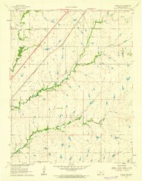
1961 · Rosalia NW
USGS Topo · 1:24,000
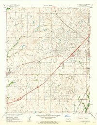
1961 · El Dorado SW
USGS Topo · 1:24,000