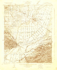
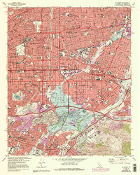
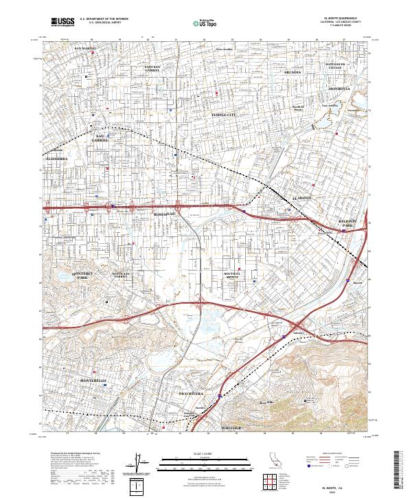
1923 Map of El Monte
USGS Topo · Published 1923About this map
The San Gabriel Valley landscape of the early 1920s is defined by a dense network of citrus groves and expanding rail lines. El Monte serves as a central hub, where the Pacific Electric Railway and Southern Pacific Railroad converge near the Rio Hondo. This era shows the transition from large ranchos to smaller township developments, with the land still divided by historic land grants like Potrero Grande and Paso de Bartolo.
Find a feature on this map
54 named features on this map. Tap any name to fly to it.
Don’t see what you’re looking for? This feature index may not catch every label — zoom into the map to look around manually.
Map Details
Editions of this 1923 El Monte Map
This is the sole edition of this map. No revisions or reprints were ever made.
Historical Maps of El Monte Through Time
9 maps found
1923 El Monte
Los Angeles County, CA
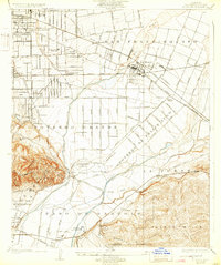
1926 El Monte
Los Angeles County, CA
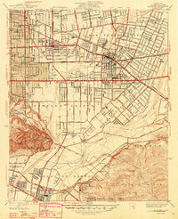
1948 El Monte
Los Angeles County, CA
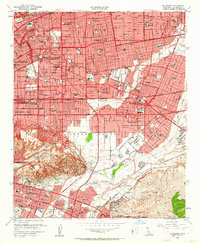
1953 El Monte
Los Angeles County, CA
1966 El Monte
Los Angeles County, CA
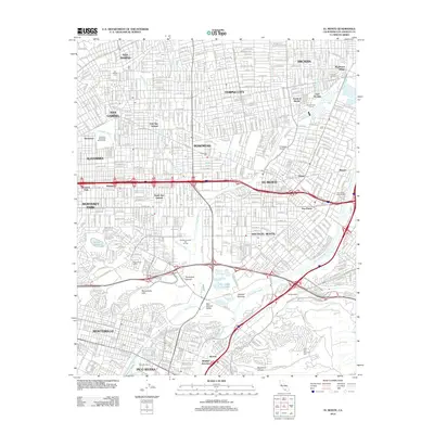
2012 El Monte
Los Angeles County, CA
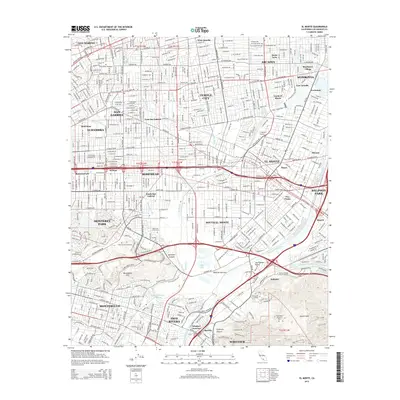
2015 El Monte
Los Angeles County, CA
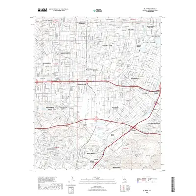
2018 El Monte
Los Angeles County, CA
2022 El Monte
Los Angeles County, CA