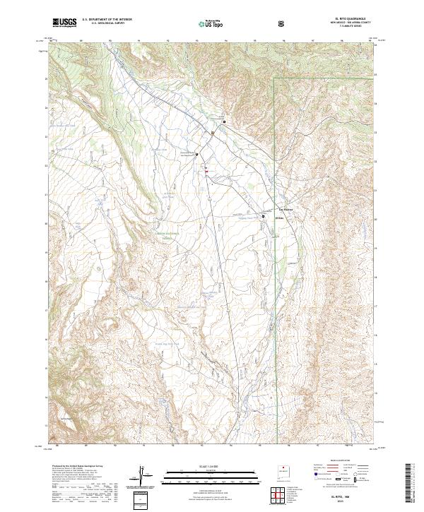
2023 Map of El Rito
USGS Topo · Published 2023About this map
El Rito and the nearby settlement of Las Placitas anchor this modern landscape within the Carson National Forest. The map documents a community deeply tied to its geographic surroundings, with several historic burial grounds including the El Rito Community Cem, Las Placitas Cem, and the Cementerio de San Juan Nepomuceno. The terrain is defined by dramatic drainage systems like Arroyo Seco and Alamosa Canyon, while the high ground of Pinon Mesa and the peak of Sierra Negra rise above the valley floor.
Find a feature on this map
43 named features on this map. Tap any name to fly to it.
Don’t see what you’re looking for? This feature index may not catch every label — zoom into the map to look around manually.
Map Details
Editions of this 2023 El Rito Map
This is the sole edition of this map. No revisions or reprints were ever made.
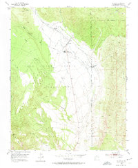
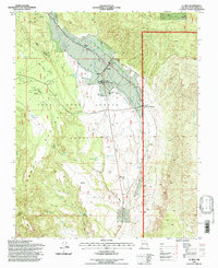
Historical Maps of Las Placitas Through Time
3 maps found