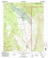
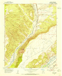
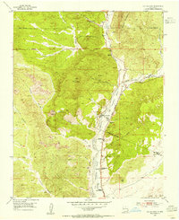
1995 Map of El Rito
USGS Topo · Published 1997About this map
El Rito serves as the central hub of this landscape, situated at the intersection of communal land history and high-desert geography. The settlement is deeply integrated with a historic irrigation system, evidenced by the Acequia Del Monte, Acequia Del Medio, and Acequia Madre that channel water through the village. Local education and community life are anchored by the Elementary School and the Northern New Mexico Community College campus.
Find a feature on this map
37 named features on this map. Tap any name to fly to it.
Don’t see what you’re looking for? This feature index may not catch every label — zoom into the map to look around manually.
Map Details
Editions of this 1995 El Rito Map
This is the sole edition of this map. No revisions or reprints were ever made.
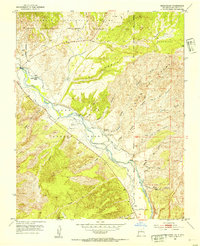
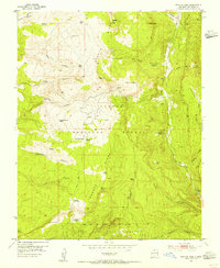
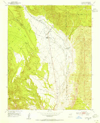
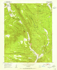
Other maps of this area

1918 · Abiquiu
USGS Topo · 1:125,000
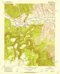
1953 · Abiquiu
USGS Topo · 1:24,000
1953 · Medanales
USGS Topo · 1:24,000
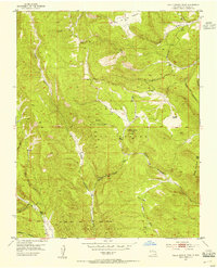
1953 · Valle Grande Peak
USGS Topo · 1:24,000
1953 · Lyden
USGS Topo · 1:24,000
1953 · Magote Peak
USGS Topo · 1:24,000
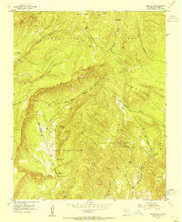
1953 · El Rito
USGS Topo · 1:24,000
1953 · La Madera
USGS Topo · 1:24,000
1953 · Ojo Caliente
USGS Topo · 1:24,000
1953 · Canjilon SE
USGS Topo · 1:24,000