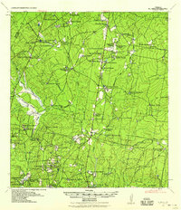
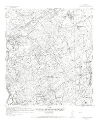
1938 Map of El Sauz
USGS Topo · Published 1958About this map
Major W. H. Waugh and the Corps of Engineers documented this landscape of South Texas ranching culture just before the mid-century. The terrain is defined by an intricate network of family-held estates and ephemeral watercourses, where the Zapata Co Starr Co line cuts through a series of named ranchlands. From the Belen Ranch in the north to the Agua Dulce Ranch in the west, these settlements were the primary hubs of local life and industry.
Find a feature on this map
75 named features on this map. Tap any name to fly to it.
Don’t see what you’re looking for? This feature index may not catch every label — zoom into the map to look around manually.
Map Details
Editions of this 1938 El Sauz Map
This is the sole edition of this map. No revisions or reprints were ever made.
Other maps of this area
1938 · Falcon
USGS Topo · 1:62,500
1938 · Agua Nueva
USGS Topo · 1:62,500
1938 · Sal Colorada
USGS Topo · 1:62,500
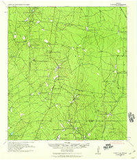
1938 · Cuevitas
USGS Topo · 1:62,500

1949 · Mc Allen
USGS Topo · 1:250,000

1954 · McAllen
USGS Topo · 1:250,000
1956 · Garcias
USGS Topo · 1:62,500
1956 · Escobares
USGS Topo · 1:62,500
1956 · Roma
USGS Topo · 1:62,500
1956 · Arroyo Clareno
USGS Topo · 1:62,500