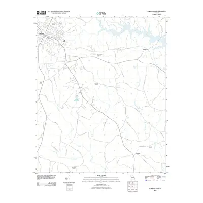
2011 Map of Elberton East
USGS Topo · Published 2011About this map
The eastern edges of Elberton serve as the focal point of this map, revealing the transition from town neighborhoods to the agricultural and forested landscape of Elbert County. The industrial heritage of the area is represented by Silk Mills, while the regional infrastructure is anchored by the Elbert County Airport-Patz Field. Notable for genealogists, several burial sites are scattered across the terrain, including Elmwood Cemetery and Falling Creek Cemetery, providing important markers for local family history research.
Find a feature on this map
56 named features on this map. Tap any name to fly to it.
Don’t see what you’re looking for? This feature index may not catch every label — zoom into the map to look around manually.
Map Details
Editions of this 2011 Elberton East Map
This is the sole edition of this map. No revisions or reprints were ever made.
Other maps of this area

1893 · Elberton
USGS Topo · 1:125,000

1906 · Crawfordville
USGS Topo · 1:125,000

1953 · Athens
USGS Topo · 1:250,000

1954 · Greenville
USGS Topo · 1:250,000

1955 · Broad
USGS Topo · 1:24,000

1958 · Greenville
USGS Topo · 1:250,000

1958 · Athens
USGS Topo · 1:250,000

1958 · Elberton
USGS Topo · 1:62,500

1959 · Athens
USGS Topo · 1:250,000

1963 · Athens
USGS Topo · 1:250,000