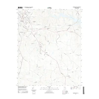
2014 Map of Elberton East
USGS Topo · Published 2014About this map
The industrial and rural character of eastern Elberton is well-defined by the late-twentieth-century development of Silk Mills and the established routes connecting local settlements. The eastern portion of the landscape is dominated by the sprawling reaches of Richard B Russell Lake, while the western side reveals the dense residential and commercial grid of the city, including significant memorial sites like Elmwood Cem and Forest Hills Memorial Park.
Find a feature on this map
118 named features on this map. Tap any name to fly to it.
Don’t see what you’re looking for? This feature index may not catch every label — zoom into the map to look around manually.
Map Details
Editions of this 2014 Elberton East Map
This is the sole edition of this map. No revisions or reprints were ever made.
Other maps of this area

1893 · Elberton
USGS Topo · 1:125,000

1906 · Crawfordville
USGS Topo · 1:125,000

1953 · Athens
USGS Topo · 1:250,000

1954 · Greenville
USGS Topo · 1:250,000

1955 · Broad
USGS Topo · 1:24,000

1958 · Greenville
USGS Topo · 1:250,000

1958 · Athens
USGS Topo · 1:250,000

1958 · Elberton
USGS Topo · 1:62,500

1959 · Athens
USGS Topo · 1:250,000

1963 · Athens
USGS Topo · 1:250,000